What is recorded here
Located in pasture in a N-S valley and on the E bank a stream. It is indicated as a small circular enclosure (diam. c. 10m) and described in gothic lettering as a ‘Fort’ on the 1835 ed. of the OS 6-inch map. It is not visible at ground level and has probably been removed by a forestry road.
The above description is derived from 'The Archaeological Inventory of County Leitrim' compiled by Michael J. Moore (Dublin: Stationery Office, 2003). In certain instances the entries have been revised and updated in the light of recent research.
Date of upload/revision: 12 December 2011
The monument record does not grant public access. Check the route and ask the landowner before entering private land.
- What survives
- Recorded monument
Places near here
 Sweat Ho.Sweathouse · 1122 yd
 RC ChapelChurch · 1366 yd
 Noti ndicatedFairy fort / earthen ringfort · 1453 yd
 Kilroosk RockNamed rock · 1.1 mi
 Ashisland WoodForest · 1.5 mi
 Longhill WoodForest · 1.7 mi
 Agow TopMountain / peak · 1.7 mi
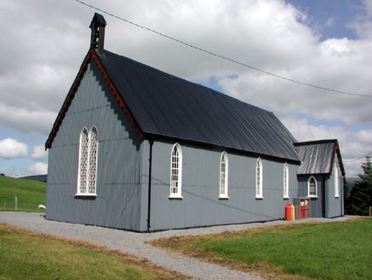 Lurganboy Church (Killasnet)church/chapel · 2.6 mi
 Saddle HillMountain / peak · 2.8 mi
 Castle CarCastle · 2.9 mi
 Fowley's FallsPicnic place · 3.2 mi
 Giant's GraveArchaeological place · 3.6 mi