What is recorded here
Eskerballycahill holds a faded oval rath, thirty-six metres long and twenty-eight wide, set on a grassy rise where quarrying has already bitten into its north-west edge. The southern bank still stands while the rest depends on a shallow scarp, suggesting people once shaped this land before forgetting it. Fairy forts invite that belief because ordinary history fails to explain why so much effort vanished so quickly.
On a rise in grassland. Poorly preserved oval rath (N-S 36m, E-W 28m) defined by a bank at S, and elsewhere by a scarp. Quarrying has encroached upon the monument at NW.
The above description is derived from the published 'Archaeological Inventory of County Galway Vol. II - North Galway'. Compiled by Olive Alcock, Kathy de hÓra and Paul Gosling (Dublin: Stationery Office, 1999).
Date of upload: 05 August 2010
The monument record does not grant public access. Check the route and ask the landowner before entering private land.
- What survives
- Recorded monument
Places near here
 Enclosure in Bredagh (kilconnell By.)Enclosure · 582 yd
 Crockballytoole FortArchaeological place · 690 yd
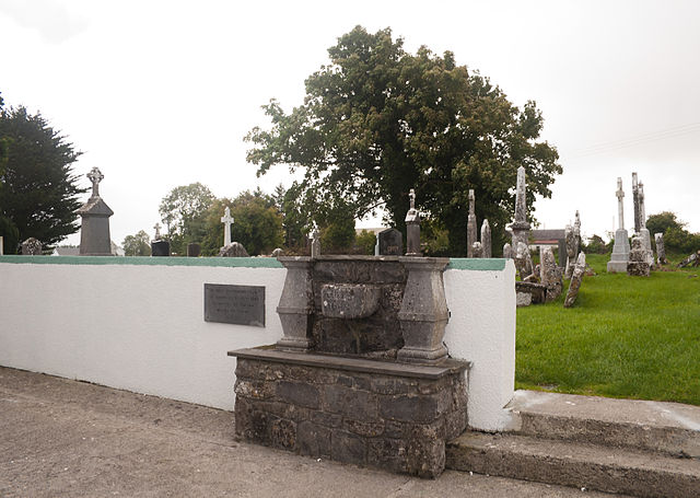 Quarry in CaltraQuarry · 1660 yd
 Religious houseReligious house, Carmelite friars · 1.1 mi
 Clonbrock CastleCastle, tower house · 2.2 mi
 Sweet ChestnutSweet Chestnut · 2.4 mi
 Tower (in Ruins)Castle, tower house · 2.6 mi
 SycamoreSycamore · 2.6 mi
 Ballinlass Eviction MemorialMemorial · 4.8 mi
 Kilconnell AbbeyHeritage attraction · 7.2 mi
 Mount MaryMountain / peak · 9.2 mi
 Sally IslandIslet · 9.9 mi