What is recorded here
Fairy fort in Drumsawry or Summerbank: a 35-metre stone circle on a shadowed slope, old enough to predate human memory in local belief. It vanished from maps and fields alike, yet aerial photographs still catch its ring like a breath held underground. The fairies never left; they merely stopped being visible to those who stopped looking up.
Located towards the bottom of a NW-facing slope. It is not depicted on any OS 6-inch map but a circular enclosure (diam. c. 35m), probably defined by a stone wall N-E-S is visible in the distance on oblique aerial photographs (CUCAP: AHN 51, AJZ 83, APE 49), and it is also visible on the vertical aerial photographs (GSIAP: N 721-3). No archaeological feature is visible at ground level in improved pasture.
The above description is derived from the published 'Archaeological Inventory of County Meath' (Dublin: Stationery Office, 1987). In certain instances the entries have been revised and updated in the light of recent research.
Compiled by: Michael Moore
Date of revision: 1 November 2018
The monument record does not grant public access. Check the route and ask the landowner before entering private land.
- What survives
- Recorded monument
Places near here
 Enclosure in BallinvallyEnclosure · 529 yd
 CastleCastle, unclassified · 533 yd
 indicatedChurch · 535 yd
 Enclosure in Ballinvally,drumsawry OR SummerbankEnclosure · 559 yd
 C11Named rock · 1518 yd
 Carnbane WestMountain / peak · 1530 yd
 LoughcrewMegalithic tomb cemetery · 1622 yd
 Loughcrew Megalithic TombsHeritage attraction · 1.0 mi
 Slieve Na CalliaghMountain / peak · 1.1 mi
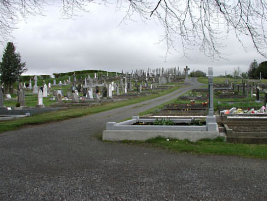 graveyard/cemeterygraveyard/cemetery · 1.2 mi
 Common LimeCommon Lime · 1.6 mi
 Memorial CrossMemorial · 1.6 mi