What is recorded here
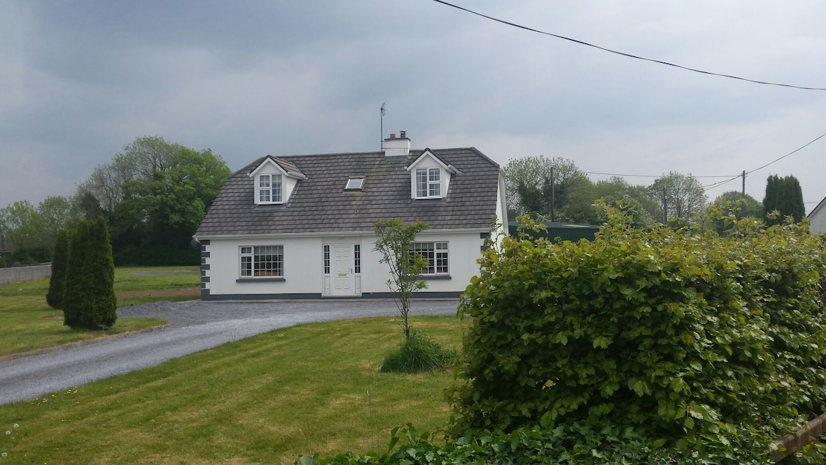
Drumminacloghaun held a subcircular enclosure thirty-seven metres across on a low sand ridge before quarrying bit through the memory of the place. The ground dropped several metres around 1960, erasing the visible trace that survived on older maps. A house now stands where the fort disappeared, turning ancient boundary into domestic floor.
On a low sand and gravel ridge. Marked on the OS 6-inch maps as a subcircular enclosure (c. 37m NE-SW; c. 34m NW-SE). On inspection in May 1986 no visible surface trace survived. According to the landowner, the area was quarried out c. 1960 and as a result the ground level had been lowered by several metres. A house has since been built on the site. Possibly a ringfort.
Compiled by: Galway Archaeological Survey, UCG
Date of upload: 4 March 2019
The monument record does not grant public access. Check the route and ask the landowner before entering private land.
- What survives
- Recorded monument
Places near here
 Man-made underground passage in BallylennanMan-made underground passage · 622 yd
 Calluragh Chapel (in ruins)Church · 678 yd
 Hilltop enclosure in DrumminacloghaunHilltop enclosure · 710 yd
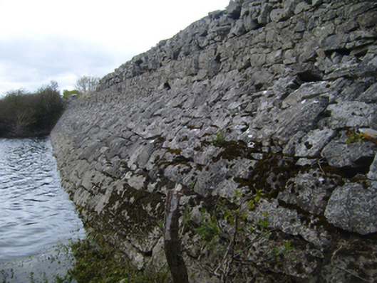 road (section of)road (section of) · 771 yd
 Bawn in Castlequarter (kiltartan By.)Bawn · 1247 yd
 Cavalry Bks on Site of Gort CastleCastle, unclassified · 1.1 mi
 Coole-Garryland Nature ReserveNature reserve · 1.6 mi
 Holm OakHolm Oak · 1.7 mi
 Kilmacduagh Monastic SiteVisitor information · 2.1 mi
 Kilmacduagh MonasteryHeritage attraction · 2.1 mi
 Castle IslandIsland · 3.1 mi
 Swan IslandIsland · 3.4 mi