What is recorded here
Fairy fort in Drumlara, County Leitrim: a small circular embanked enclosure, about 25m across, set on a SE-facing slope above the NW angle of Lough Machugh. In 1835 the Ordnance Survey called it a Fort, but the ringfort may have been a humble rath, partly swallowed by a field bank. The lake still glints beneath it, and the grass keeps its shape like a forgotten room.
Located towards the bottom of a SE-facing slope overlooking the NW angle of Lough Machugh. A small circular embanked enclosure (ext. diam. c. 25m) is depicted only on the 1835 edition of the OS 6-inchmap where it is described as a ‘Fort’. A small enclosure is incorporated with a field bank S-NW, and is probably a small rath.
The above description is derived from 'The Archaeological Inventory of County Leitrim' compiled by Michael J. Moore (Dublin: Stationery Office, 2003). In certain instances the entries have been revised and updated in the light of recent research.
Compiled by: Michael Moore
Date of upload: 15 December 2011
Amended: 5 December 2019
A small circular fairy fort (ringfort/rath) in Drumlara, likely dating to the early medieval period, is visible on the 1835 Ordnance Survey 6-inch map, situated on a south-east facing slope overlooking Lough Machugh. Local tradition associates such sites with fairy activity, and they were often avoided due to beliefs in their supernatural inhabitants.
The monument record does not grant public access. Check the route and ask the landowner before entering private land.
- What survives
- Recorded monument
Places near here
 Enclosure in DrumhanyEnclosure · 929 yd
 IndicatedFairy fort / earthen ringfort · 1396 yd
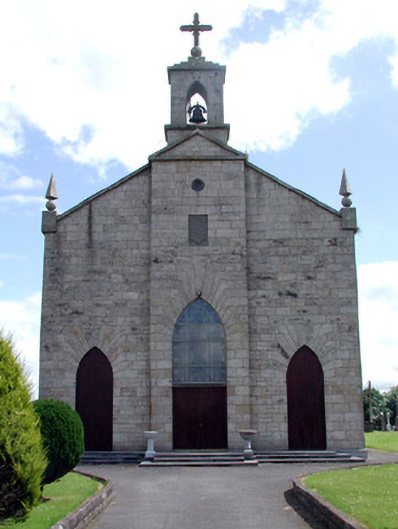 Catholic Church of the Immaculate Conceptionchurch/chapel · 2.2 mi
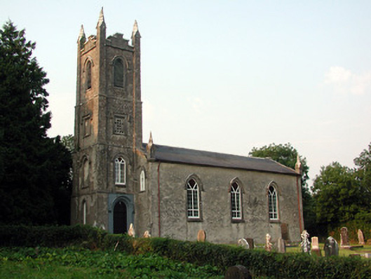 Saint Anne's Church (Annaduff)church/chapel · 2.3 mi
 Tom Dunphy MemorialMemorial · 2.3 mi
 Declaration of IndependenceMemorial · 2.9 mi
 Wildlife AreaNature reserve · 3.0 mi
 Turlough O'Carolan MonumentHeritage attraction · 3.0 mi
 Monkey-puzzleMonkey-puzzle · 4.4 mi
 CastleCastle, tower house · 4.5 mi
 Little IslandIslet · 4.5 mi
 Duck IslandIslet · 4.6 mi