What is recorded here
Situated in grassland with stream marking county boundary with Offaly 90m to E. Ringfort (TN022-007----) 115m to NNW. Circular-shaped area (approx. diam. 35m E-WS) enclosed by earthen bank and slight remains of external fosse visible on Digital Globe aerial photograph taken November 2011. The earthwork is not depicted on any edition of the OS 6-inch maps.
Compiled by: Caimin O'Brien based on details kindly provided by Edmond O'Donovan
Date of upload: 28 September 2017
The monument record does not grant public access. Check the route and ask the landowner before entering private land.
- What survives
- Recorded monument
Places near here
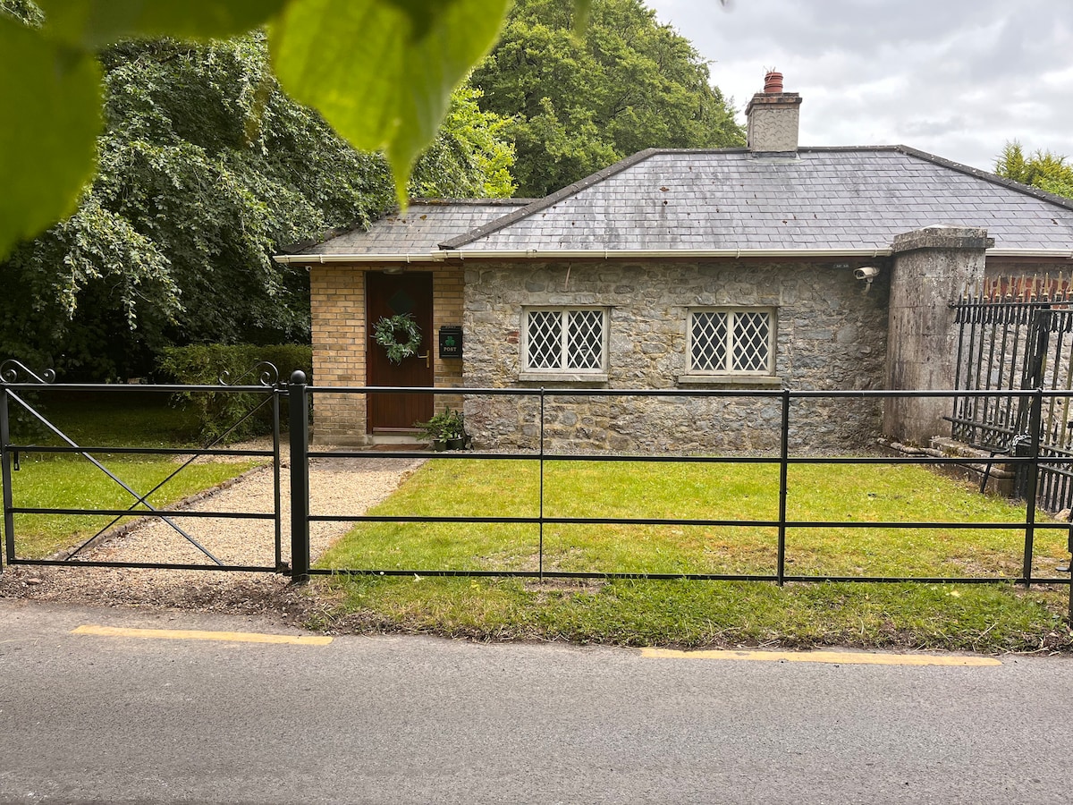 Enclosure in LoyerEnclosure · 987 yd
 KilnKiln, corn-drying · 1221 yd
 Field boundary in DrumroeField boundary · 1350 yd
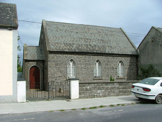 Moneygall Churchschool · 1577 yd
 BenduffMountain / peak · 1.1 mi
 MoatCastle, motte · 1.3 mi
 The MoatCastle, motte · 1.6 mi
 Borrisnoe MountainMountain / peak · 2.4 mi
 Longford WoodForest · 2.9 mi
 Kyleroe WoodWood · 3.4 mi
 Thomas MacDonagh Heritage CentreMuseum · 6.3 mi
 MacDonagh HouseMemorial · 6.3 mi