What is recorded here
Half a metre of bank and a shadow of a ditch is all that remains of a place people once called a fairy fort. The name is a story, not a fact, but it fits the shape: small enough to hide, old enough to be forgotten, set on a slope where the land still holds its edge. Whatever lived there has gone, yet the circle stays intact, waiting for someone to stop asking whether it is real and begin remembering what it felt like to be small inside it.
Situated on a steep but short SE-facing slope. This is a grass-covered D-shaped area (int. dims 17.2m N-S; 14.3m E-W) defined by an earth and stone bank (Wth 1.5-2m; int. H 0.3-0.7m; ext. H 0.8-1.1m), which is reduced to a scarp (H 0.5m) at S. The straight side is at W, and a possible external fosse, or an old drain, is indicated by a band of rushes (Wth 1m) at E. An original entrance is not identified but it probably was a rath.
The above description is derived from 'The Archaeological Inventory of County Leitrim' compiled by Michael J. Moore (Dublin: Stationery Office, 2003). In certain instances the entries have been revised and updated in the light of recent research.
Date of upload: 23 September 2008
The monument record does not grant public access. Check the route and ask the landowner before entering private land.
- What survives
- Recorded monument
Places near here
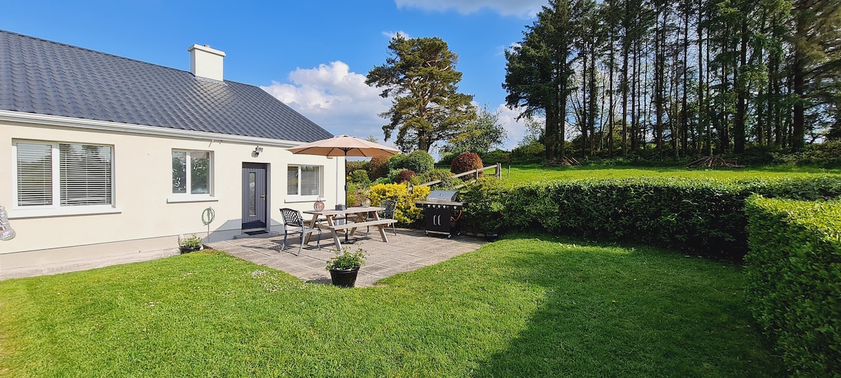 IndicatedFairy fort / stone ringfort · 717 yd
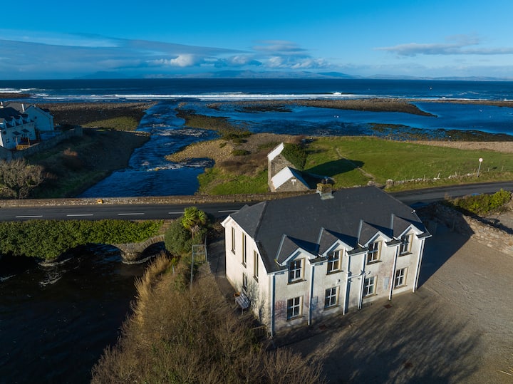 Sweat Ho.Sweathouse · 1337 yd
 Church (in Ruins)Church · 1390 yd
 kilnkiln · 1676 yd
 Green IslandIslet · 1.9 mi
 Old HallCastle, hall-house · 3.1 mi
 BenboMountain / peak · 3.6 mi
 The Giants GraveArchaeological place · 4.0 mi
 Giants RockNamed rock · 4.1 mi
 Doonbran Isd.Bawn · 4.4 mi
 Cullentra ForestForest · 4.8 mi
 Parke's CastleHeritage attraction · 4.9 mi