What is recorded here
Fairy fort / ringfort in Cooldrumman Upper is a fairy fort or ringfort in Cooldrumman Upper, County Sligo, Ireland. The site sits in gently undulating pasture and appears as a roughly circular enclosure about twenty-five metres across on the 1836-7 OS map. It disappeared from the 1940-1 map because the monument was levelled, leaving no visible remains at ground level.
Situated in gently undulating pasture. Depicted as a roughly circular enclosure (diam. c.25m) on the 1836-7 edition of the OS 6'' map but not shown on the 1940-1 edition. . The monument has been levelled and there are no remains visible at ground level.
Compiled by: Patrick F. O'Donovan
Date of upload: 21 April 2011
The monument record does not grant public access. Check the route and ask the landowner before entering private land.
- What survives
- Recorded monument
Places near here
 Enclosure in GortaroweyEnclosure · 723 yd
 IndicatedFairy fort / stone ringfort · 777 yd
 Urlar Househouse · 1433 yd
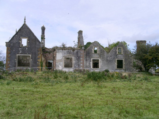 Rahelly Housecountry house · 1616 yd
 Floods WoodForest · 1756 yd
 Cat CornerWood · 1.1 mi
 Castle (in Ruins)Castle, unclassified · 1.3 mi
 BenbulbinMountain / peak · 1.8 mi
 CastleCastle, unclassified · 2.0 mi
 BenbulbenMountain · 2.1 mi
 Finned PointHeadland · 2.2 mi
 Benbulbin South-East TopMountain / peak · 2.2 mi