What is recorded here
Situated in level wet pasture on NE bank of Drumcliff River. Shown as a subcircularenclosure on the 1836-7 edition of the OS 6-inch map. On the 1940-1 edition it is depicted as a hachured, subcircular enclosure (diam. 30m). This potential monument, probably a ringfort, is overgrown with scrub and is inaccessible.
Compiled by: Patrick F. O'Donovan
Date of upload: 21 April 2011
The monument record does not grant public access. Check the route and ask the landowner before entering private land.
- What survives
- Recorded monument
Places near here
 Enclosure in BallynagalliaghEnclosure · 743 yd
 Tober PatrickHoly well · 1294 yd
 Saint Columba's Church (Drumcliff)church/chapel · 1639 yd
 Drumcliff CemeteryGraveyard · 1646 yd
 Grave of WB YeatsHeritage attraction · 1660 yd
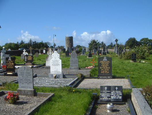 graveyard/cemeterygraveyard/cemetery · 1696 yd
 Kings MountainMountain / peak · 1.5 mi
 Castle (in Ruins)Castle, unclassified · 1.5 mi
 CastleCastle, unclassified · 1.7 mi
 Benbulbin South-East TopMountain / peak · 2.3 mi
 Floods WoodForest · 2.4 mi
 Paddy McGowan's WoodWood · 3.0 mi