What is recorded here
Half of a fifty-six metre ring vanished under a bulldozer in the 1950s, leaving only a western bank to mark the ghost of Castlelambert. The remaining curve faces east across undulating grassland, inviting imagination to complete what the machine erased. People may have lived inside the lost southern half, tending fires or watching storms, but the soil keeps that chapter closed.
On an E-facing slope in undulating grassland. Poorly preserved originally circular rath (D 56m) defined by a bank from W through N to E. According to local information, the S half of the monument was bulldozed in the 1950s and no visible surface trace survives.
The above description is derived from the published 'Archaeological Inventory of County Galway Vol. II - North Galway'. Compiled by Olive Alcock, Kathy de hÓra and Paul Gosling (Dublin: Stationery Office, 1999).
Date of upload: 05 August 2010
The monument record does not grant public access. Check the route and ask the landowner before entering private land.
- What survives
- Recorded monument
Places near here
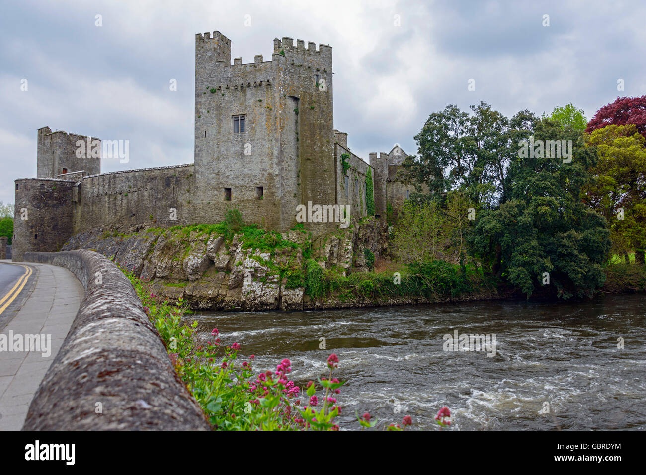 CaherFairy fort / earthen ringfort · 296 yd
 IndicatedFairy fort / stone ringfort · 672 yd
 Castle LambertCountry house · 806 yd
 Castle (in Ruins)Castle, unclassified · 1429 yd
 Moor Abbey (in ruins)Religious house, unclassified · 1.4 mi
 Convent (in ruins)Castle, ringwork · 2.0 mi
 Horse-chestnutHorse-chestnut · 2.4 mi
 First Battle of Athenrybattle · 2.5 mi
 Athenry CastleHeritage attraction · 2.6 mi
 Athenry AbbeyHeritage attraction · 2.6 mi
 The HazelWood · 4.3 mi
 Rabbit IslandIslet · 8.8 mi