What is recorded here
Quarrying bit into the west and southeast edges of the Castlegar East ringfort, leaving a shallow thirty-metre scar in undulating Galway grassland. The remaining bank and earthlip mark a dwelling or exclusion boundary from before written records, large enough for people, livestock and argument. Later banks circle the east side, suggesting the place stayed useful long after its first maker stopped coming.
In undulating grassland. Very poorly preserved subcircular rath (N-S 30m, E-W 27m) defined by a bank at W, and elsewhere by a scarp. Quarrying has encroached upon the monument at SE and W. A series of banks, possibly later, surround the monument at E.
The above description is derived from the published 'Archaeological Inventory of County Galway Vol. II - North Galway'. Compiled by Olive Alcock, Kathy de hÓra and Paul Gosling (Dublin: Stationery Office, 1999).
Date of upload: 05 August 2010
The monument record does not grant public access. Check the route and ask the landowner before entering private land.
- What survives
- Recorded monument
Places near here
 IndicatedEnclosure · 682 yd
 Enclosure in WestonEnclosure · 913 yd
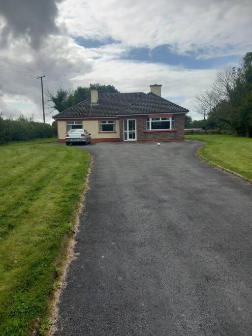 Country house in Castlegar EastCountry house · 1138 yd
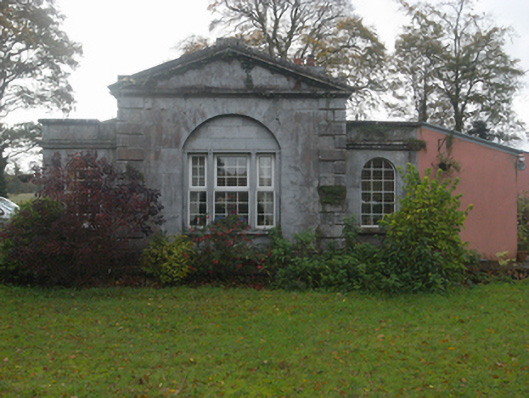 Castlegargate lodge · 1442 yd
 LismoneyForest · 1.2 mi
 European ashEuropean ash · 2.8 mi
 Clonbrock CastleCastle, tower house · 3.1 mi
 Killure Castle (in ruins)Castle, tower house · 3.3 mi
 Inch IslandIsland · 3.7 mi
 Clooncoran IslandIsland · 3.7 mi
 Kilconnell AbbeyHeritage attraction · 6.6 mi
 Battle of Aughrim Interpretative CentreMuseum · 7.5 mi