What is recorded here
Fairy forts are human ringforts misnamed, and this is one: a circular rath thirty-three metres across on a gentle north-facing slope in Castlegar East. Its bank still stands from north-north-east to west-south-west, while a scarp completes the rest of the circle, and faint traces of an outer ditch survive from south to north-north-west. People may have farmed around it, hidden in it during storms, or simply passed it without knowing what it was. The fairies are the part people invented later.
On a gentle N-facing slope. Circular rath (D 33m), in fair condition, defined by a bank from NNE to WSW and elsewhere by a scarp. Traces of an external fosse survive from S to NNW.
The above description is derived from the published 'Archaeological Inventory of County Galway Vol. II - North Galway'. Compiled by Olive Alcock, Kathy de hÓra and Paul Gosling (Dublin: Stationery Office, 1999).
Date of upload: 05 August 2010
The monument record does not grant public access. Check the route and ask the landowner before entering private land.
- What survives
- Recorded monument
Places near here
 IndicatedEnclosure · 355 yd
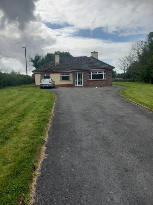 Country house in Castlegar EastCountry house · 1120 yd
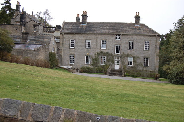 Enclosure in WestonEnclosure · 1548 yd
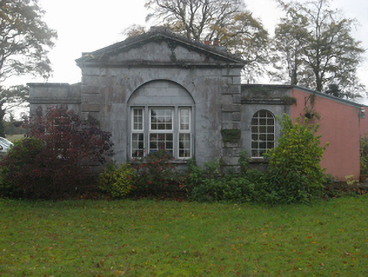 Castlegargate lodge · 1690 yd
 LismoneyForest · 1.1 mi
 European ashEuropean ash · 2.9 mi
 Clonbrock CastleCastle, tower house · 3.3 mi
 Killure Castle (in ruins)Castle, tower house · 3.3 mi
 Inch IslandIsland · 3.6 mi
 Clooncoran IslandIsland · 3.6 mi
 Kilconnell AbbeyHeritage attraction · 6.7 mi
 Battle of Aughrim Interpretative CentreMuseum · 7.6 mi