What is recorded here
Fairy fort / ringfort in Castlegal (carbury By., Glencar Ed) is a fairy fort or ringfort in Castlegal (carbury By., Glencar Ed), County Sligo, Ireland. The 1837 edition of the OS 6-inch map depicted a roughly circular enclosure about twenty metres across on a slight southwest-facing slope. The monument has since been levelled, leaving no visible remains above ground where a small quarry hole now occupies part of the site.
Situated on a slight SW-facing slope in gently undulating poor upland pasture. Depicted on the 1837 edition of the OS 6-inch map as a roughly circular enclosure (diam. c.20m) but not shown on the 1913 edition. The monument has been levelled and there are no surviving remains now visible at ground level. The area is strewn with rubble rocks. A small quarry hole (diam. c.10m) now occupies portion of the site.
Compiled by: Patrick F. O'Donovan
Date of upload: 21 April 2011
The monument record does not grant public access. Check the route and ask the landowner before entering private land.
- What survives
- Recorded monument
Places near here
 Enclosure in Castlegal (carbury By., Glencar Ed)Enclosure · 1121 yd
 Copes MountainMountain / peak · 1683 yd
 Enclosure in WillowbrookEnclosure · 1.0 mi
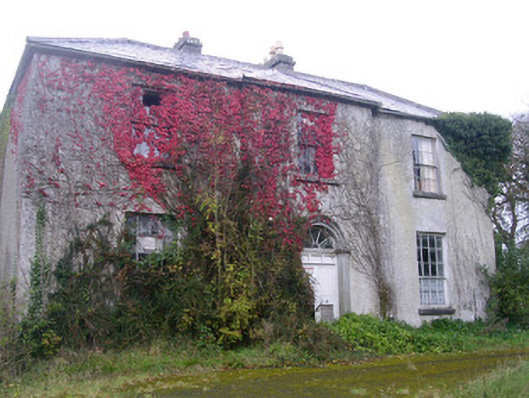 Doonally Househouse · 1.3 mi
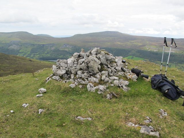 CrockaunsMountain / peak · 1.7 mi
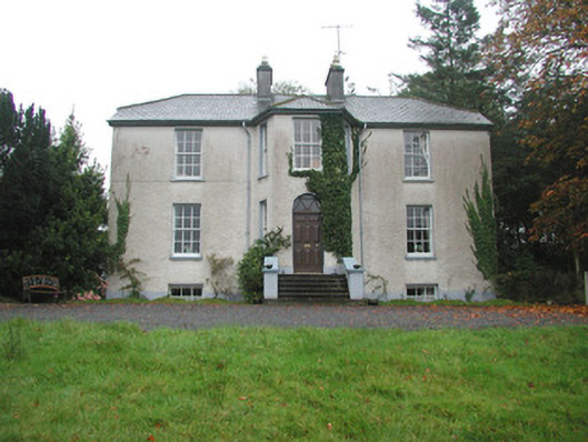 Colgagh Househouse · 2.0 mi
 Glencar IslandIslet · 2.5 mi
 Glencar Lough ViewpointViewpoint · 2.5 mi
 Glencar WaterfallVisitor information · 2.5 mi
 European BeechEuropean Beech · 2.9 mi
 Memorial Francis FinnMemorial · 3.4 mi
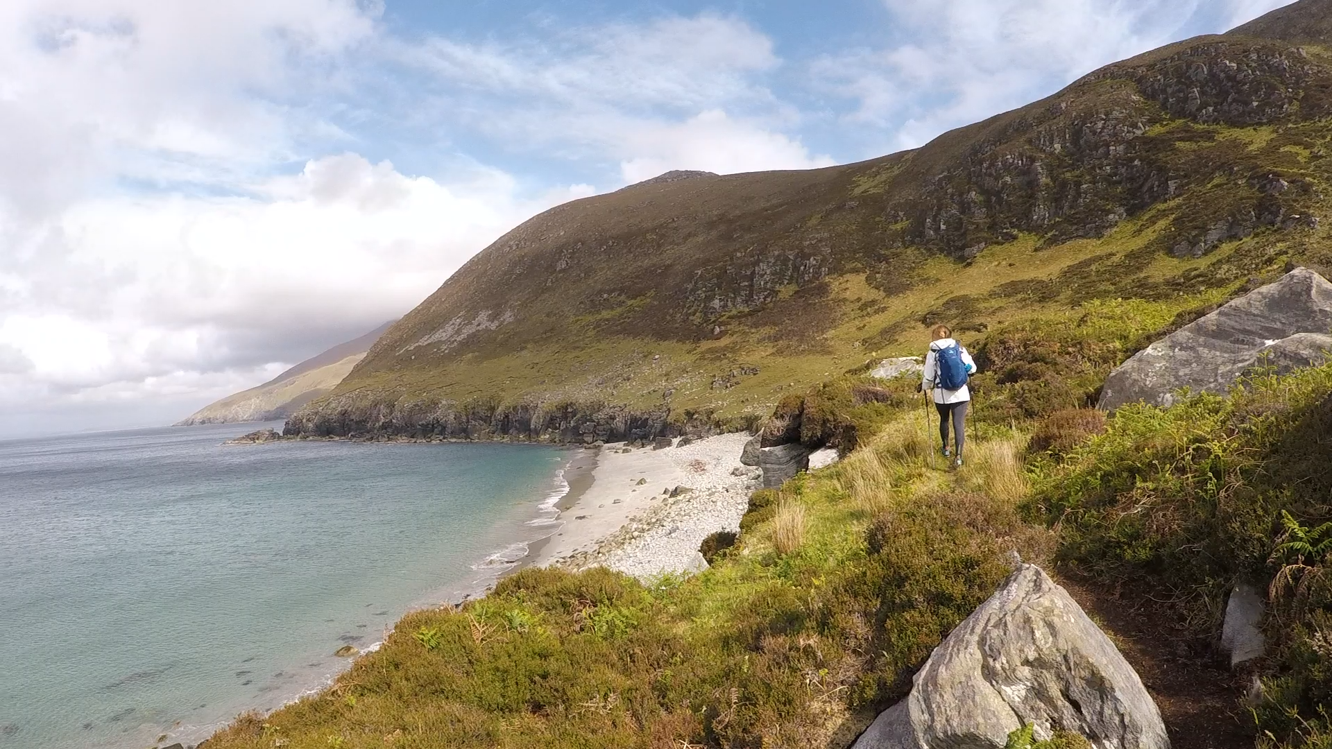 Annagh BayBay · 3.5 mi