What is recorded here
No fort remains in Castlecooly despite appearing on every map. The vanished ring likely occupied flat land sloping toward Lough Swilly, but human activity or changing soil erased its visible boundary. It is an absent address, recorded only through repeated mapping rather than surviving stone.
No trace of the single-ringed 'Fort' marked on all editions of the OS 6-inch maps is visible. It was situated on good, flat land sloping slightly N to Lough Swilly.
The above description was derived from the 'Archaeological Survey of County Donegal. A description of the field antiquities of the County from the Mesolithic Period to the 17th century.' Compiled by: Brian Lacey with Eamon Cody, Claire Cotter, Judy Cuppage, Noel Dunne, Vincent Hurley, Celie O'Rahilly, Paul Walsh and Seán Ó Nualláin (Lifford: Donegal County Council, 1983). In certain instances the entries have been revised and updated.
Date of upload: 22 September 2008
The monument record does not grant public access. Check the route and ask the landowner before entering private land.
- What survives
- Recorded monument
Places near here
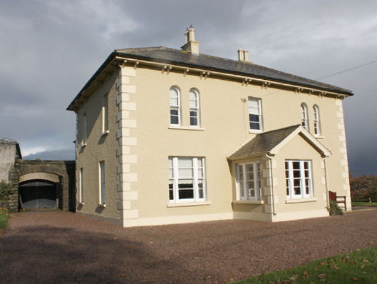 Mulleny Housefarm house · 996 yd
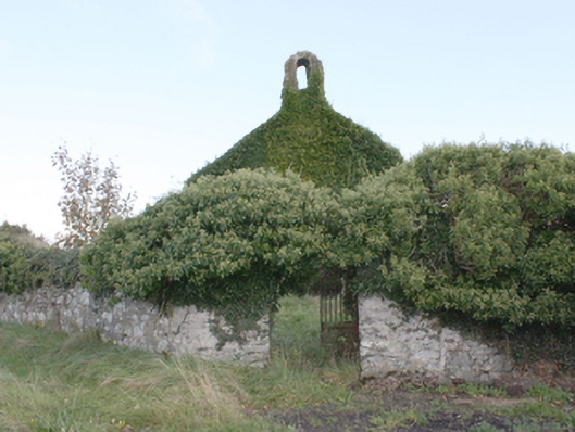 Castlecooly Church of Ireland Churchchurch/chapel · 1162 yd
 Greenan MountainMountain / peak · 1.5 mi
 Grianán of AileachFairy fort / stone ringfort · 1.5 mi
 Grianán of Aileach Outer HillfortHillfort · 1.5 mi
 Baylet Fairy FortFairy fort / earthen ringfort · 1.6 mi
 Burt CastleCastle, tower house · 1.7 mi
 Old CastleCastle, tower house · 1.7 mi
 Emmery Celtic CrossWood · 2.2 mi
 King's GraveArchaeological place · 2.5 mi
 InchIsland · 2.7 mi
 Mass RockNamed rock · 2.8 mi