What is recorded here
Half the fort is gone, taken by plough or time, but the west arc still stands on its rise, two banks and a ditch marking the edge of a small life lived in openness. A house, a yard, a fire, a person who watched the grass move and belonged to the field. The east half has vanished, not hidden, simply erased, which is the ordinary fate of small places. What remains is enough to show that someone shaped the land and the land gave back a boundary they could trust.
On a rise in undulating grassland. Poorly preserved circular rath (D 25m) defined by two banks and an intervening fosse. The E half of this monument has been almost completely levelled.
The above description is derived from the published 'Archaeological Inventory of County Galway Vol. II - North Galway'. Compiled by Olive Alcock, Kathy de hÓra and Paul Gosling (Dublin: Stationery Office, 1999).
Date of upload: 05 August 2010
The monument record does not grant public access. Check the route and ask the landowner before entering private land.
- What survives
- Recorded monument
Places near here
 demesne walls/gates/railingsdemesne walls/gates/railings · 495 yd
 Enclosure in CarrowhollaEnclosure · 580 yd
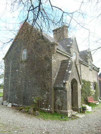 worker's houseworker's house · 890 yd
 Enclosure in WoodlawnEnclosure · 1140 yd
 European Crab AppleEuropean Crab Apple · 1.2 mi
 Western RedcedarWestern Redcedar · 1.2 mi
 Castle (in Ruins)Castle, unclassified · 2.6 mi
 Site of Lisnamoltaun CastleCastle, unclassified · 3.1 mi
 Kilconnell AbbeyHeritage attraction · 3.6 mi
 Menlough IRAMemorial · 6.2 mi
 Battle of Aughrim Interpretative CentreMuseum · 7.5 mi
 Battle of AughrimMajor battlefield · 8.0 mi