What is recorded here
In low-lying marshy pastureland. Marked on the OS 6-inch maps as a circular enclosure (diam. c. 25m). No visible surface trace survives and a large quarry now occupies the site.
Compiled by: Galway Archaeological Survey, UCG
Date of upload: 18 February 2019
The monument record does not grant public access. Check the route and ask the landowner before entering private land.
- What survives
- Recorded monument
Places near here
 Field system in CarnField system · 332 yd
 Man-made underground passage in CarnMan-made underground passage · 637 yd
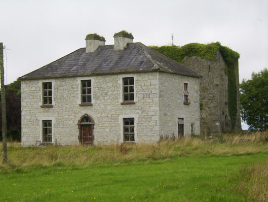 Ballybroder Househouse · 1.0 mi
 Church (in ruins)Church · 1.2 mi
 Bush IslandIslet · 1.9 mi
 Ballygasty Castle in ruinsCastle, unclassified · 1.9 mi
 Middle IslandIslet · 1.9 mi
 Long PointHeadland · 2.0 mi
 Drought Castle (in Ruins)Castle, tower house · 2.2 mi
 Dartfield Horse MuseumHeritage attraction · 2.5 mi
 Turoe StoneHeritage attraction · 3.7 mi
 Quarryhill WoodWood · 7.9 mi