What is recorded here
Thirty-three metres of packed earth still stand in the Galway grass, a shallow ditch circling three sides and a widened gap facing east where somebody once walked in. Field boundaries still radiate from that entrance like spokes from a hub, suggesting the fort did not appear fully formed but grew around a living centre. The fairness of its condition and the clarity of its shape leave little room for doubt about human hands, even if fairy names have clustered around it ever since.
In gently undulating grassland. Circular rath (D 33m), in fair condition, defined by a bank. A shallow depression evident from S through SW to W may indicate an external fosse. A gap (Wth 4.5m) at ESE, though widened, may be original. Field boundaries radiate from the monument at ESE and SW.
The above description is derived from the published 'Archaeological Inventory of County Galway Vol. II - North Galway'. Compiled by Olive Alcock, Kathy de hÓra and Paul Gosling (Dublin: Stationery Office, 1999).
Date of upload: 05 August 2010
The monument record does not grant public access. Check the route and ask the landowner before entering private land.
- What survives
- Recorded monument
Places near here
 Enclosure in Grange (clonmacnowen By.)Enclosure · 867 yd
 LisnagreeveEnclosure · 1161 yd
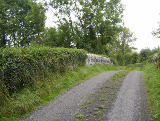 bridgebridge · 1.1 mi
 IndicatedChurch · 1.2 mi
 Oak WoodWood · 1.5 mi
 Castle (Site of)Castle, Anglo-Norman masonry castle · 1.5 mi
 West WoodWood · 1.6 mi
 Battle of Aughrim Interpretative CentreMuseum · 1.7 mi
 Urraghry HillMountain / peak · 1.9 mi
 Battle of AughrimMajor battlefield · 2.2 mi
 The bloody HollowHeritage attraction · 2.2 mi
 Killure Castle (in ruins)Castle, tower house · 2.6 mi