What is recorded here
Fairy fort / ringfort in Biggera More is an oval cashel on a west-facing slope, thirty metres long and twenty-five wide, with a collapsed drystone wall and a small circular stone structure inside that may have been a house. It belongs to North Galway, where such forts marked crowded, defended life long before maps existed. The wall has fallen, the grass has taken back the rooms, and the fort has become a boundary between memory and forgetting.
On a W-facing slope. Oval cashel (N-S 30.6m, E-W 24.7m) defined by a collapsed drystone wall with inner and outer wall-facing visible sporadically. Within NW sector of interior is a circular grassed-over stone structure (D 2.5m), possibly a house.
The above description is derived from the published 'Archaeological Inventory of County Galway Vol. II - North Galway'. Compiled by Olive Alcock, Kathy de hÓra and Paul Gosling (Dublin: Stationery Office, 1999).
Date of upload: 05 August 2010
The monument record does not grant public access. Check the route and ask the landowner before entering private land.
- What survives
- Recorded monument
Places near here
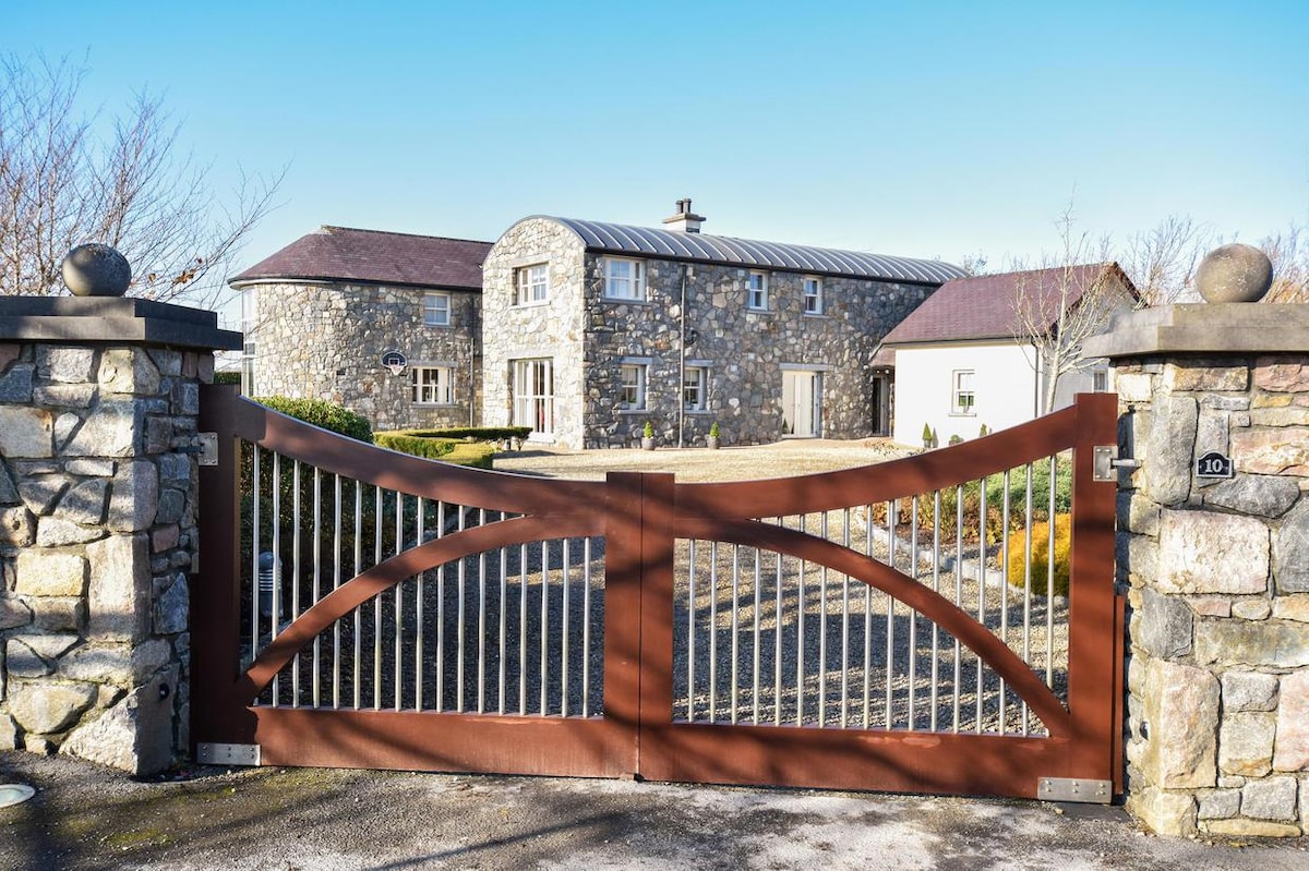 Enclosure in CluidrevaghEnclosure · 353 yd
 IndicatedFairy fort / ringfort · 436 yd
 Castlehacket National Schoolschool · 1015 yd
 Site of CastleCastle, unclassified · 1.6 mi
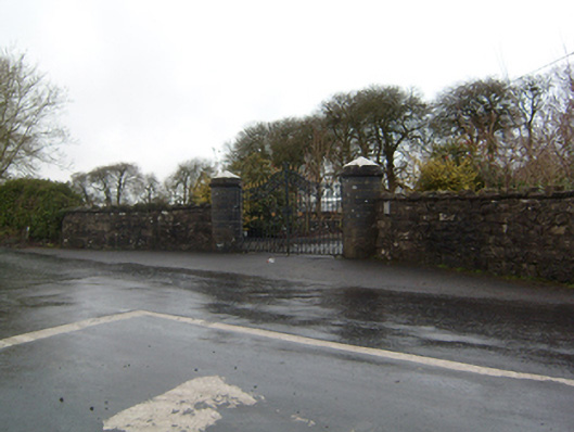 Cahermorris Housedemesne walls/gates/railings · 1.7 mi
 KnockmaaWood · 2.3 mi
 Cashlaun Feecul in ruinsCastle, unclassified · 2.5 mi
 Kilcoona Round TowerHeritage attraction · 2.6 mi
 Cregg Castle DemesneForest · 4.3 mi
 Ballinduff BayBay · 4.4 mi
 Mass RockNamed rock · 5.7 mi
 Walsh's IslandIslet · 6.3 mi