What is recorded here
No visible wall or ditch remains, yet the forgotten circle likely shaped human life on that Galway slope before grass and time erased its edge.
On W-facing slope in undulating grassland. Marked on 1st edition of OS as a subcircular enclosure (D c. 40m). No visible surface trace survives.
The above description is derived from the published 'Archaeological Inventory of County Galway Vol. I - West Galway'. Compiled by Paul Gosling (Dublin: Stationery Office, 1993).
Date of upload: 05 August 2010
The monument record does not grant public access. Check the route and ask the landowner before entering private land.
- What survives
- Recorded monument
Places near here
 CaheratootherFairy fort / stone ringfort · 643 yd
 IndicatedMill, corn · 1048 yd
 Lisheenna-caheraghEnclosure · 1167 yd
 Ebor Hallcountry house · 1582 yd
 Coill na FaircheWood · 1.3 mi
 Ballindeonagh Castle (in ruins)Castle, unclassified · 1.5 mi
 Binn ShléibheMountain / peak · 2.0 mi
 Inis TuíIslet · 2.1 mi
 Varley's islandIslet · 2.2 mi
 Castle (in Ruins)Castle, unclassified · 2.4 mi
 Golden BayBay · 2.5 mi
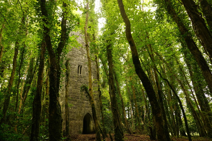 Ard na Gaoithe WoodsForest · 2.8 mi