What is recorded here
Fairy fort / ringfort in Ballyeighter (clonmacnowen By.) stands in undulating grassland, a subcircular rath stretching 37m north-south and 31m east-west. Its bank survived quarrying from WSW through N to E, though a 4.1m eastern gap hints at an original entrance. The ruin still holds its shape in fair condition, waiting for someone to remember why it was built.
In undulating grassland. Subcircular rath (N-S 37m, E-W 31m), in fair condition, defined by a bank disturbed by quarrying from WSW through N to E. A gap (W 4. 1m) at E could be original.
The above description is derived from the published 'Archaeological Inventory of County Galway Vol. II - North Galway'. Compiled by Olive Alcock, Kathy de hÓra and Paul Gosling (Dublin: Stationery Office, 1999).
Date of upload: 05 August 2010
The monument record does not grant public access. Check the route and ask the landowner before entering private land.
- What survives
- Recorded monument
Places near here
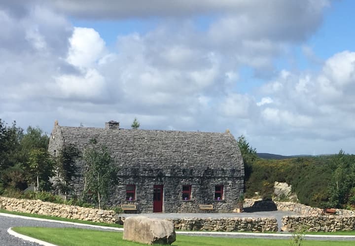 Enclosure in LissavahaunEnclosure · 310 yd
 IndicatedHouse, 18th/19th century · 316 yd
 Enclosure in Ballyeighter (clonmacnowen By.)Enclosure · 949 yd
 Battle of AughrimMajor battlefield · 1.2 mi
 Battle of Aughrim Interpretative CentreMuseum · 1.4 mi
 R.C. ChapelChurch · 1.4 mi
 The bloody HollowHeritage attraction · 1.5 mi
 Castle (Site of)Castle, Anglo-Norman masonry castle · 1.6 mi
 Oak WoodWood · 1.9 mi
 Park CastleCastle, hall-house · 2.1 mi
 Urraghry HillMountain / peak · 2.5 mi
 West WoodWood · 3.7 mi