What is recorded here
Fairy forts are not fairy forts. They are human homes, farms and ritual places from before written records. The true wonder is that people lived there, died there and were forgotten. Ballaghcloneen is no longer visible on the ground. The field has taken it back. What remains is a shadow in the soil, a bent line in the satellite image and a name in a list. That is not poverty. It is the ordinary fate of most human life.
Indicated on the 1st (1839) ed. OS 6-inch map and the 1900 revision as a roughly circular enclosure (diam. c. 43m) with a field boundary running N-S along the W side and following the SW edge before turning southward. The monument has since been levelled. The fosse is visible as a cropmark on some satellite imagery (Google Earth, 10 June 2008; OS Orthos).
Compiled by: Jean Farrelly
Date of upload: 6 July 2020
The monument record does not grant public access. Check the route and ask the landowner before entering private land.
- What survives
- Recorded monument
Places near here
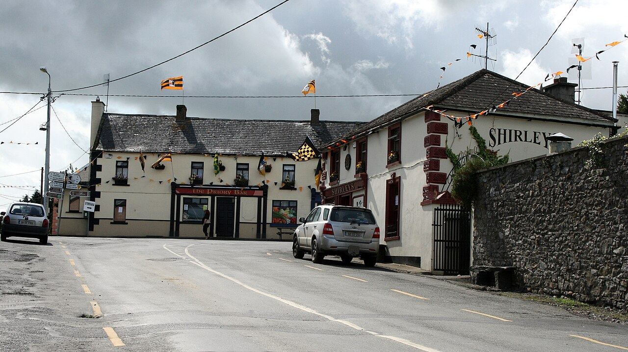 IndicatedEnclosure · 594 yd
 Enclosure in FoylatalureEnclosure · 1456 yd
 CastleCastle, unclassified · 1577 yd
 Tullaroan ChurchChurch · 1647 yd
 Site of CastleCastle, unclassified · 1.0 mi
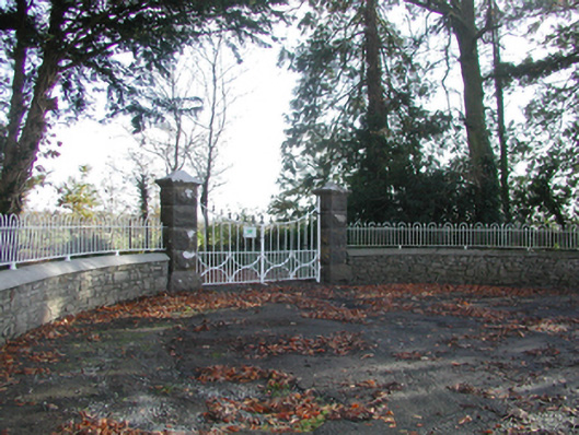 Curragh Housegates/railings/walls · 1.2 mi
 Killeen Fox CovertForest · 1.2 mi
 Ballykeeffe Mass RockNamed rock · 2.9 mi
 Ballykeefe AmphitheatreHeritage attraction · 3.1 mi
 Ballykeefe QuarryCliff · 3.1 mi
 Ballykeefe WoodForest · 3.1 mi
 Warhouse HillMountain / peak · 3.8 mi