What is recorded here
No trace remains of the single-ringed fort in Baile Na Creige Thoir, though old maps marked it inside good arable land. The earth has taken back the boundary, leaving only a flat field where a life may have turned, hidden and forgotten. What was built there has become the kind of absence that makes a place harder to leave behind.
No trace is visible of the single-ringed 'Fort' marked on the 1st and 2nd editions of the OS 6-inch maps. It was situated in good arable land.
The above description was derived from the 'Archaeological Survey of County Donegal. A description of the field antiquities of the County from the Mesolithic Period to the 17th century.' Compiled by: Brian Lacey with Eamon Cody, Claire Cotter, Judy Cuppage, Noel Dunne, Vincent Hurley, Celie O'Rahilly, Paul Walsh and Seán Ó Nualláin (Lifford: Donegal County Council, 1983). In certain instances the entries have been revised and updated.
Date of upload: 22 September 2008
The monument record does not grant public access. Check the route and ask the landowner before entering private land.
- What survives
- Recorded monument
Places near here
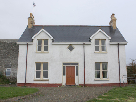 farm housefarm house · 359 yd
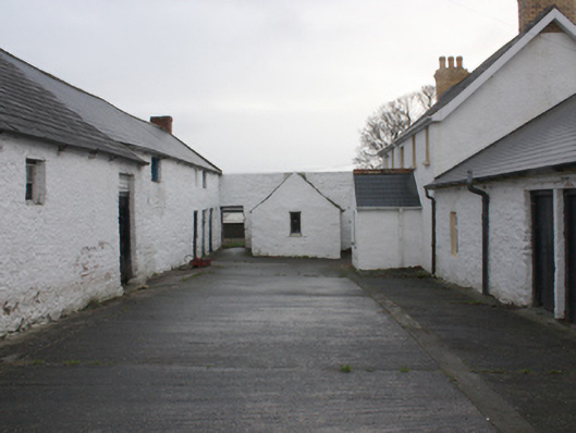 farmyard complexfarmyard complex · 369 yd
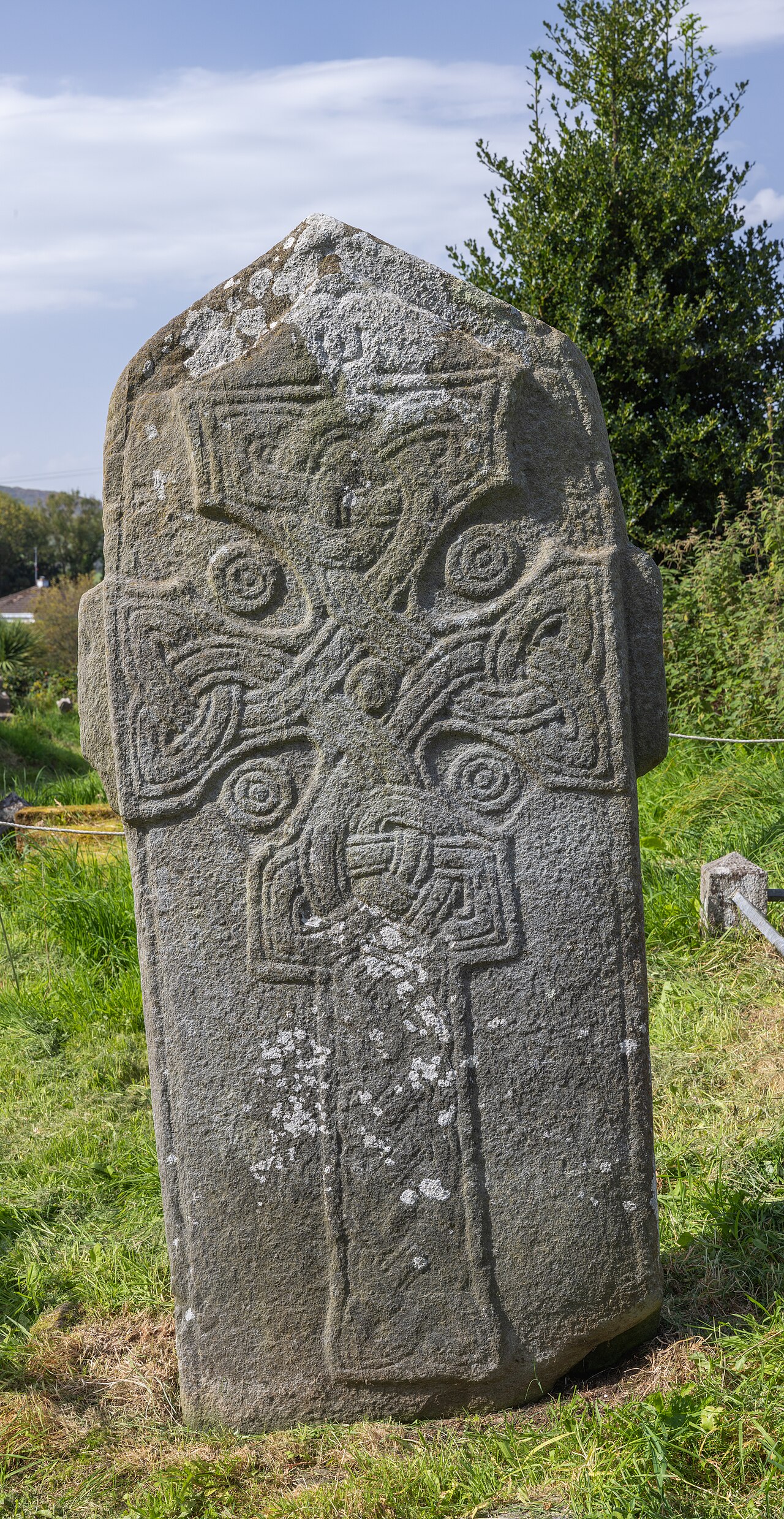 Cross in Glebe (fahan Ed)Cross · 1230 yd
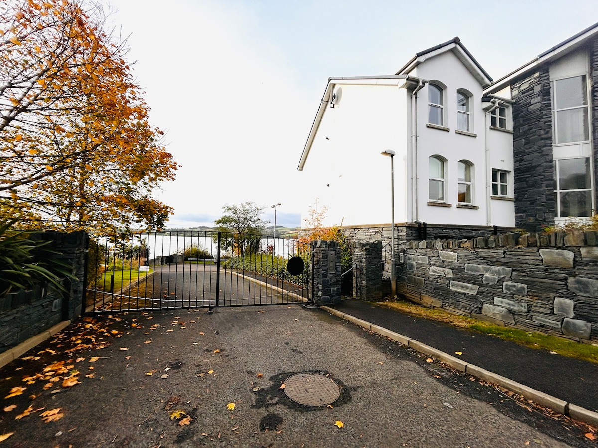 Fahan Holy WellHoly well · 1557 yd
 Bawn in An Machaire Beag (tc Fathain)Bawn · 1.2 mi
 Mass RockNamed rock · 1.4 mi
 LisfannonOfficial bathing water · 1.6 mi
 Cashel HillMountain / peak · 1.7 mi
 Brown’s PointHeadland · 1.8 mi
 Lackan ForestForest · 2.0 mi
 InchIsland · 2.5 mi
 Inch FortCastle · 2.8 mi