What is recorded here
Marked only on the 1926 ed. of the OS 6-inch map as a circular enclosure (ext. diam. c. 40m). Situated in tillage on level ground c. 80m SE of Ardoginna House, it is not visible at ground level.
The above description is derived from the published 'Archaeological Inventory of County Waterford' (Dublin: Stationery Office, 1999). In certain instances the entries have been revised and updated in the light of recent research.
Compiled by: Michael Moore
Date of upload/revision: 26th July, 2010.
The monument record does not grant public access. Check the route and ask the landowner before entering private land.
- What survives
- Recorded monument
Places near here
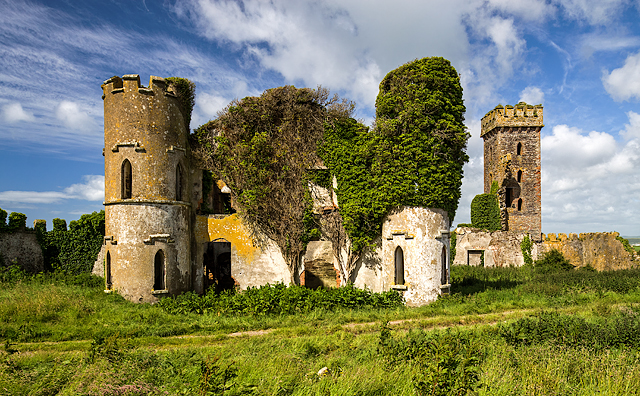 Ardoginna Ho.House, 18th/19th century · 119 yd
 Ardoginna Housecountry house · 119 yd
 Man-made underground passage in ArdoginnaMan-made underground passage · 433 yd
 Mound in FarrangarretMound · 1308 yd
 Goat Island beachBeach / strand · 1351 yd
 Ardmore Round TowerMedieval round tower · 1533 yd
 Baile StairiúilVisitor information · 1.3 mi
 Ardmore Cliff WalkWalking route · 1.4 mi
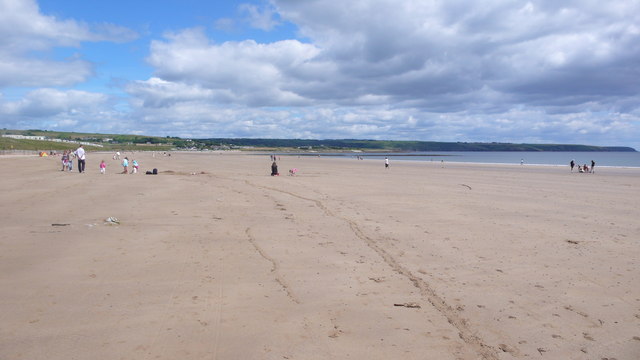 Ardmore BeachBeach / strand · 1.4 mi
 Cabin PointHeadland · 2.2 mi
 Matty CoakleyMemorial · 4.2 mi
 Ferry PointViewpoint · 4.2 mi