What is recorded here
Ardnasodan’s oval fort measures forty-five metres across and still shows a bank, ditch and a hollow near its centre. Most of its ring has vanished under fields, leaving only a broken circle in the grass. The central hollow may be a quarry or a hidden passage, so the fort keeps one secret even after losing the rest of its shape.
In level grassland. Oval rath (NE-SW 45.5m, E-W 37m), in fair condition, defined by a bank and external fosse. Possible traces of stone- facing survive intermittently on the bank. It is breached by a gap (Wth 3m) at NE and has been totally levelled and/or dug away from ESE to SE, from SW to W, and from WNW to N. The monument is cut by a field wall at NNW and SSW. A hollow (L 12m) close to the centre of the interior is probably the result of quarrying but could also mark the site of a possible Man-made underground passage.
The above description is derived from the published 'Archaeological Inventory of County Galway Vol. II - North Galway'. Compiled by Olive Alcock, Kathy de hÓra and Paul Gosling (Dublin: Stationery Office, 1999).
Date of upload: 05 August 2010
The monument record does not grant public access. Check the route and ask the landowner before entering private land.
- What survives
- Recorded monument
Places near here
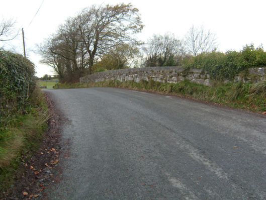 bridgebridge · 734 yd
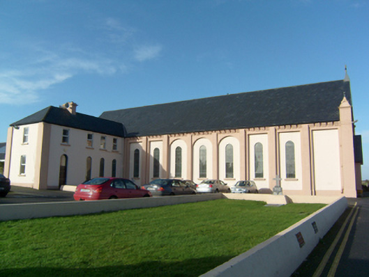 church/chapelchurch/chapel · 1055 yd
 CaveMan-made underground passage · 1434 yd
 Common WhitebeamCommon Whitebeam · 1482 yd
 Stone CirclesFairy fort / stone ringfort · 1492 yd
 SycamoreSycamore · 1592 yd
 Castle FrenchCastle, unclassified · 1.6 mi
 CastleCastle, unclassified · 2.8 mi
 Knockmoy AbbeyHeritage attraction · 3.0 mi
 Mass RockNamed rock · 10.0 mi
 Kilcoona Round TowerHeritage attraction · 10 mi
 Ballyloughane BeachBeach / strand · 13 mi