What is recorded here
No wall or ditch remains on the rocky cashel at An Charraig, though a map once drew a ring around it. The land has become ordinary pasture, erasing the boundary that marked the place as special. Forgetting is not the same as loss. It is the field taking back what it lent.
There is no trace of the single-ringed enclosure shown on the 2nd edition of the OS 6-inch map. It was situated on a rocky platform c. 25m in diameter known locally as 'cashel'. The area consists of light-soiled tillage and pasture with some rock outcrop.
The above description was derived from the 'Archaeological Survey of County Donegal. A description of the field antiquities of the County from the Mesolithic Period to the 17th century.' Compiled by: Brian Lacey with Eamon Cody, Claire Cotter, Judy Cuppage, Noel Dunne, Vincent Hurley, Celie O'Rahilly, Paul Walsh and Seán Ó Nualláin (Lifford: Donegal County Council, 1983). In certain instances the entries have been revised and updated.
Date of upload: 22 September 2008
This remains an important historical record, but the official description says the monument is no longer visible or has been destroyed. The monument record does not grant public access. Check the route and ask the landowner before entering private land.
- What survives
- No visible remains or recorded as destroyed
Places near here
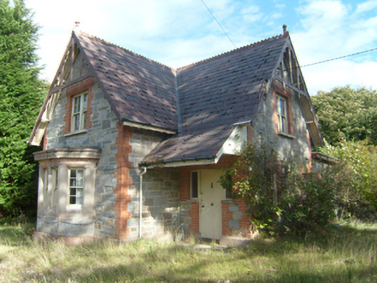 Milford Gate Lodgegate lodge · 157 yd
 Aghalatty Stone RingfortFairy fort / stone ringfort · 1025 yd
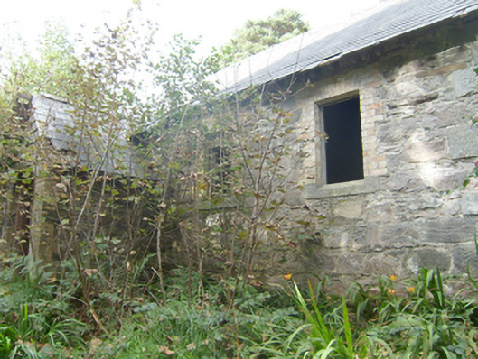 Manor Vaughan National Schoolschool · 1167 yd
 Former Umrycam Ridge EnclosureEnclosure · 1.3 mi
 Moross CastleCastle, tower house · 2.0 mi
 Cranberry IslandIslet · 3.4 mi
 Àn Trá MorBeach / strand · 3.6 mi
 WoodquarterForest recreation place · 3.9 mi
 DowningsOfficial bathing water · 4.0 mi
 Rough IslandIslet · 4.2 mi
 Monterey PineMonterey Pine · 4.6 mi
 Ards Friary Coastal LoopOfficial walking route · 4.7 mi