What is recorded here
Fairy fort / earthen ringfort in Yewer Glebe was a large tree-covered circular enclosure in County Cavan, Ireland. It has vanished so completely that only a kink in the field boundary from S-SSW-SW still hints at its shape. What looked like a fort to surveyors may have been a boundary marker, a burial place, or a warning not to build there.
Marked on the OS 1836 and 1876 eds. as a large tree-covered circular enclosure. All that remains to indicate the existence of the site is a kink in the field boundary from S-SSW-SW.
The above description is derived from the published 'Archaeological Inventory of County Cavan' (Dublin: Stationery Office, 1995). In certain instances the entries have been revised and updated in the light of recent research.
Date of upload/revision: 22 December 2008
The monument record does not grant public access. Check the route and ask the landowner before entering private land.
- What survives
- Recorded monument
Places near here
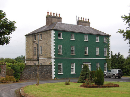 The Rectoryrectory/glebe/vicarage/curate's house · 336 yd
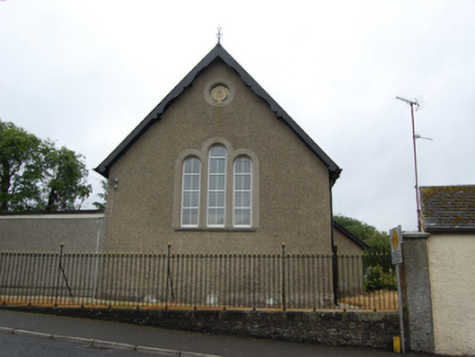 Killashandra Masonic Hallchurch/chapel · 351 yd
 Killeshandra Irish Countrywomen's Association 70th AnniversaryMemorial · 636 yd
 Pedunculate OakPedunculate Oak · 1244 yd
 Castlehamilton DemesneForest · 1330 yd
 Enclosure in ShancroaghanEnclosure · 1484 yd
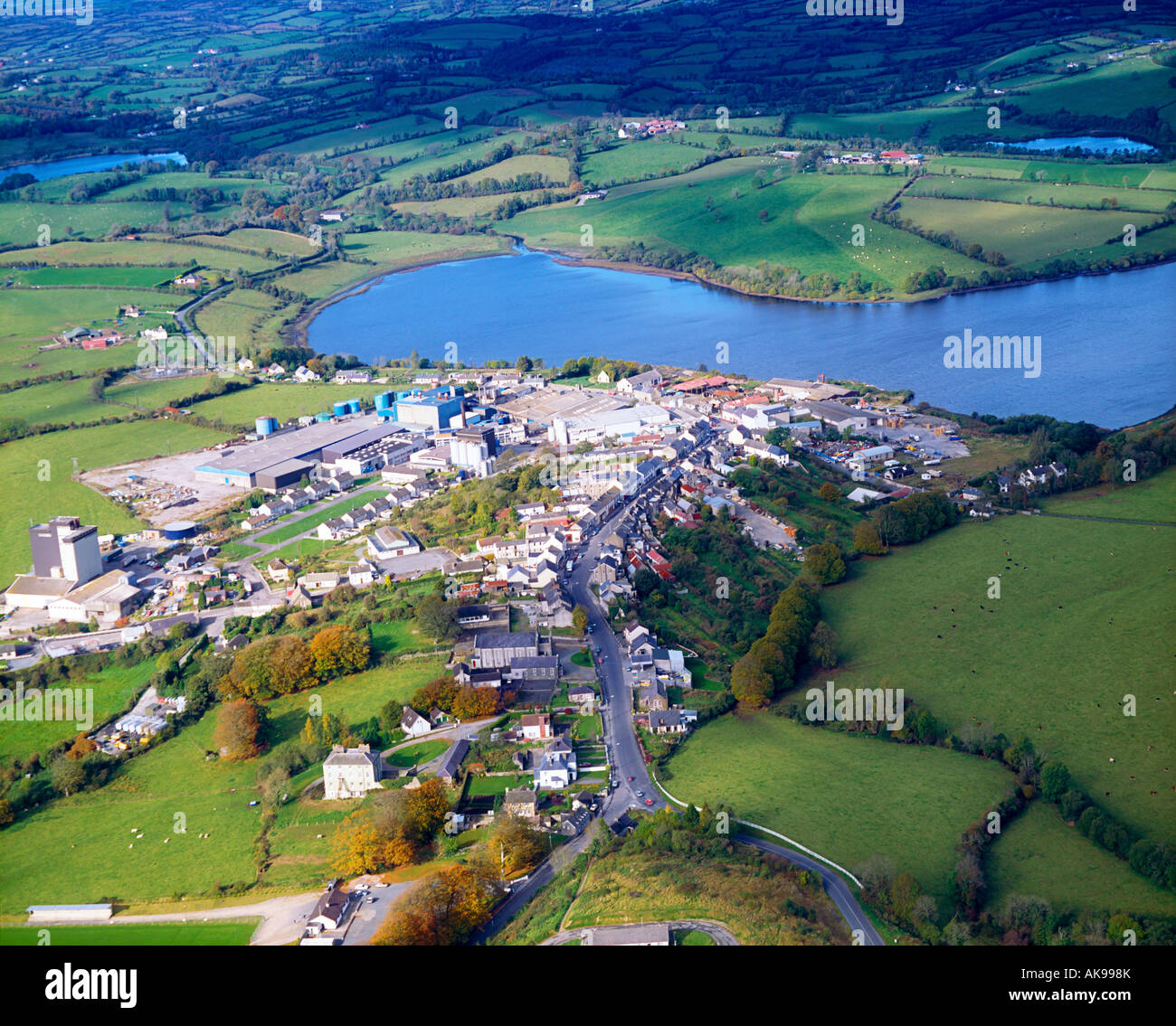 IndicatedFairy fort / earthen ringfort · 1596 yd
 Creenagh GlebeMountain / peak · 1.6 mi
 Inch IslandIslet · 2.0 mi
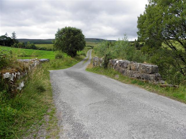 Derries UpperMountain / peak · 2.0 mi
 Woodenhouse BayBay · 2.1 mi
 Killykeen Forest ParkForest · 2.2 mi