What is recorded here
Fairy fort in Woodstock, County Cork: a roughly circular earthen ring, 35 metres across, with a 1.6-metre bank on part of its edge. It sits in pasture on a south-west-facing slope, old enough to belong before maps, before borders, before the town had its present name. People may have lived there, fenced stock, or simply avoided it because the shape suggested exclusion. The earth still holds the line of that choice.
In pasture, on break in SSW-facing slope. Roughly circular area (c. 35.4m N-S; 30.4m E-W) defined by earthen bank (H 1.6m) NNW->E; low rise elsewhere.
The above description is derived from the published 'Archaeological Inventory of County Cork. Volume 2: East and South Cork' (Dublin: Stationery Office, 1994). In certain instances the entries have been revised and updated in the light of recent research.
Date of upload/revision: 14 January 2009
The monument record does not grant public access. Check the route and ask the landowner before entering private land.
- What survives
- Recorded monument
Places near here
 Folacht FiadhFulacht fia · 1007 yd
 Fulacht fia in FahydorganFulacht fia · 1118 yd
 Garrancloyne Househouse · 1.3 mi
 Barry's Bridgebridge · 1.4 mi
 Curragh WoodsWood · 1.4 mi
 Leamlara Castle (in Ruins)Castle, tower house · 2.5 mi
 Harper's IslandIslet · 3.4 mi
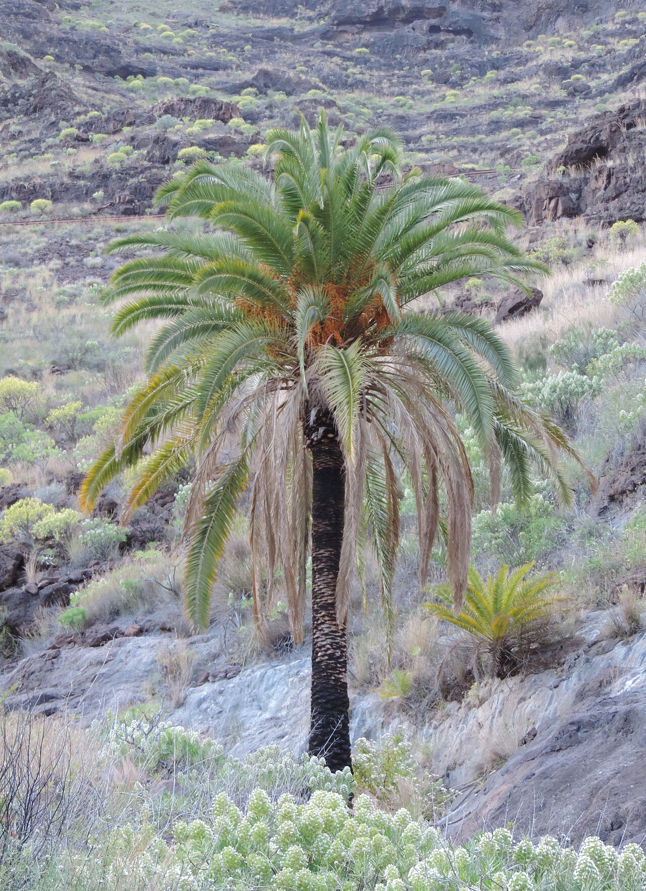 Canary Island date palmCanary Island date palm · 3.6 mi
 Fota Arboretum and GardensHeritage attraction · 3.6 mi
 Belvelly CastleCastle · 3.9 mi
 Gleeson MemorialMemorial · 4.3 mi
 Great IslandIsland · 4.7 mi