What is recorded here
Woodpole held a small earthen ringfort beside a field bank, marked on maps from 1836 to 1912 and still measurable in 1968. It fit the col between higher ground like a room set into the land, perhaps for residence, ritual or boundary. By 2000 the visible monument had disappeared, leaving only measurement and memory to outline its shape.
Situated in a col between slightly higher ground c. 100m to the N and c. 50m to the SW with lower ground to the NW and SE. It is depicted as a small embanked enclosure (ext. diam. c. 30m) on the 1836 edition of the OS 6-inch map and as a D-shaped hachured feature (dims c. 45m N-S; c. 25m E-W) truncated by a N-S field bank at E on the 1912 edition of the OS 6-inch map. It was recorded in 1968 (SMR file) as a subcircular overgrown area (dims c. 30m N-S; c. 23m E-W) defined by a scarp (at W: Wth 1.8m; H 0.5m). The visible monument had been removed by 2000 (OSAP).
The above description is derived from the published 'Archaeological Inventory of County Meath' (Dublin: Stationery Office, 1987). In certain instances the entries have been revised and updated in the light of recent research.
Compiled by: Michael Moore
Date of revision: 22 February 2019
The monument record does not grant public access. Check the route and ask the landowner before entering private land.
- What survives
- Recorded monument
Places near here
 Woodpole Fox CovertWood · 249 yd
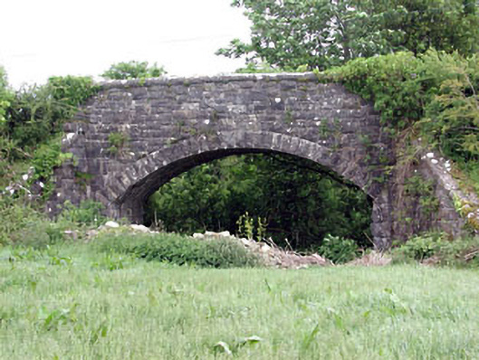 Woodpole Bridgebridge · 978 yd
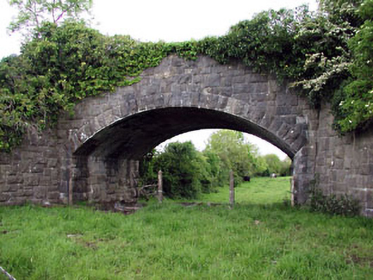 Jack's Bridgebridge · 1273 yd
 HawthornHawthorn · 1.2 mi
 CrossCross, High cross · 1.2 mi
 Grave YardGraveyard · 1.2 mi
 FortsCastle, motte and bailey · 1.3 mi
 Balgree MoteCastle, motte · 1.4 mi
 MaperathMountain / peak · 2.1 mi
 MountainpoleMountain / peak · 3.0 mi
 The Kieran Flanagan WayMemorial · 3.1 mi
 Great Famine ProjectMemorial · 3.2 mi