What is recorded here
Mortars and machines have bitten through the fort, but it still stands as a circular ridge above the ordinary field. A fairytale name belongs to the place now, yet the stone and soil mark a human residence older than memory. What remains is enough to show that people shaped this land before Whitestown existed. The lost chamber may have held a family, a herdsman or a priest, and the earth still carries the shape of that forgotten life.
The following description is derived from both the published 'Archaeological Inventory of County Louth' (Dublin: Stationery Office, 1986) and the 'Archaeological Survey of County Louth' (Dublin: Stationery Office, 1991). In certain instances the entries have been revised and updated in the light of recent research.
Date of upload/revision: 17 July 2007
Circular raised platform (int. diam. 27m, H 1.6-2.4m). No visible fosse or ancient entrance. The interior of the site is badly affected by quarrying.
The monument record does not grant public access. Check the route and ask the landowner before entering private land.
- What survives
- Recorded monument
Places near here
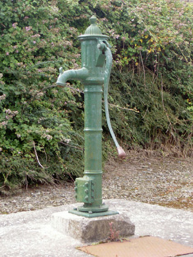 water pumpwater pump · 836 yd
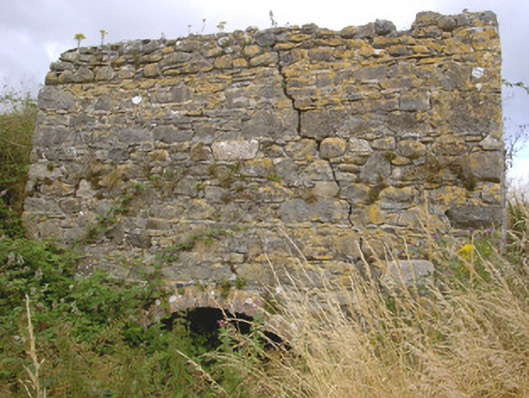 kilnkiln · 1294 yd
 Enclosure in WillvilleEnclosure · 1447 yd
 Enclosure in Ardtully MoreEnclosure · 1.0 mi
 Cooley PointHeadland · 1.3 mi
 Ballug CastleCastle · 1.5 mi
 St James WellSpring · 1.5 mi
 Castle in RuinsCastle, unclassified · 1.8 mi
 GreenoreVisitor information · 2.2 mi
 The BushPicnic place · 2.3 mi
 Greenore PointHeadland · 2.5 mi
 Grange UpperMountain / peak · 3.0 mi