What is recorded here
Fairy fort in Whitemill, County Louth. An earthen ringfort, its western edge still standing one point eight metres high while the rest has been levelled into the fields. Roads and field boundaries cut through it on every side. What lived inside, what it kept, has gone quiet under the soil and the wheels.
The following description is derived from both the published 'Archaeological Inventory of County Louth' (Dublin: Stationery Office, 1986) and the 'Archaeological Survey of County Louth' (Dublin: Stationery Office, 1991). In certain instances the entries have been revised and updated in the light of recent research.
Date of upload/revision: 17 July 2007
Enclosure defined by a scarp (H 1.8m) at W quadrant and levelled on all other sides. Roadway and modern field boundaries encroach on the site on all sides.
The monument record does not grant public access. Check the route and ask the landowner before entering private land.
- What survives
- Recorded monument
Places near here
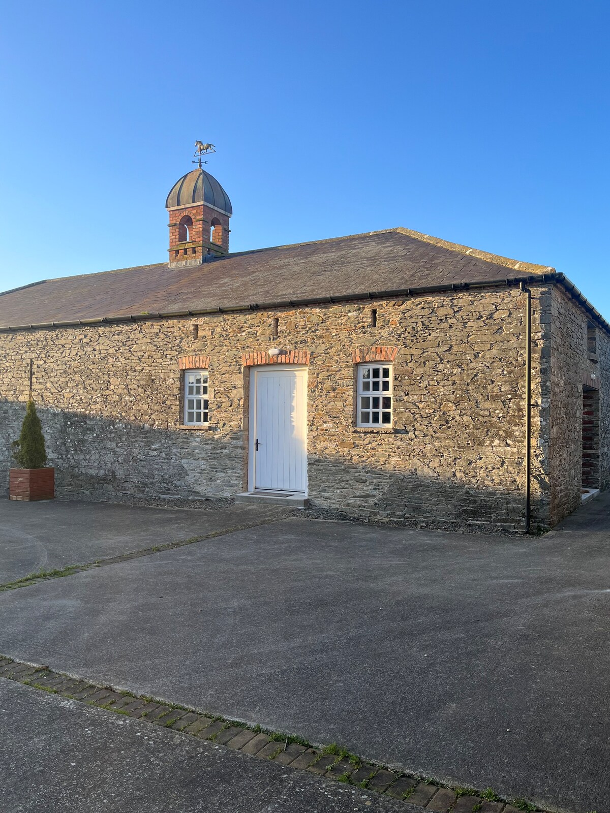 Enclosure in MonascreebeEnclosure · 811 yd
 Enclosure in Faughart LowerEnclosure · 852 yd
 Battle of FaughartMajor battlefield · 1006 yd
 St. Brigids StationPenitential station · 1079 yd
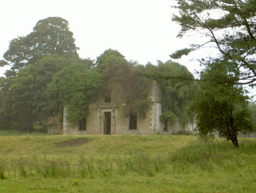 Woodlawnhouse · 1196 yd
 Faughart MoundCastle, motte · 1357 yd
 Raskeagh FortCastle, motte and bailey · 1422 yd
 MonascreebeMountain / peak · 1.2 mi
 SlievenaboleaMountain / peak · 1.6 mi
 Moyry CastleCastle · 1.9 mi
 Proleek DolmenArchaeological place · 2.1 mi
 KILNASAGGART INSCRIBED PILLAR STONE & CEMETERY with 6 CROSS-CARVED STONES: CELL NA SACART in EdenappaKILNASAGGART INSCRIBED PILLAR STONE & CEMETERY with 6 CROSS-CARVED STONES: CELL NA SACART · 2.1 mi