What is recorded here
Mounds and ditches mark a forgotten home on the ridge. The fort is called fairy because people stopped believing it belonged to the living. Its measurements and broken ring remain unchanged while the story around it keeps moving.
Situated on a ridge. A subcircular area (dims. c. 44.6m NW-SE, 37m NE-SW) defined by a bank (Wth c. 2.7m, int. H c. 0.8m, ext. H c. 1.4m) and external fosse (Wth c. 3.5m). Possible original entrance at NE.
The above description is derived from the published 'Archaeological Inventory of County Laois' (Dublin Stationery Office, 1995) compiled by P. David Sweetman, Olive Alcock and Bernie Moran. In certain instances the entries have been revised and updated in the light of recent research.
Date of upload: 17 December 2007
The monument record does not grant public access. Check the route and ask the landowner before entering private land.
- What survives
- Recorded monument
Places near here
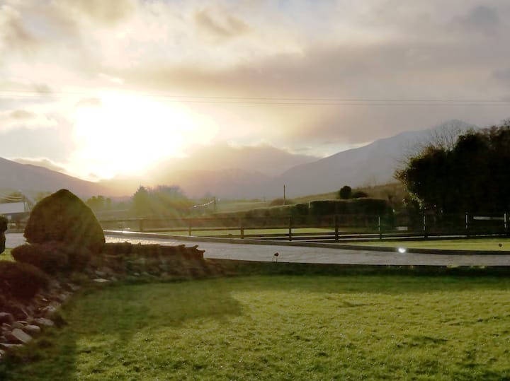 Enclosure in FermoyleEnclosure · 556 yd
 Enclosure in WatercastleEnclosure · 649 yd
 Water CastleCastle · 893 yd
 Clonkeen Church (in ruins)Church · 1442 yd
 Bawn in FermoyleBawn · 1528 yd
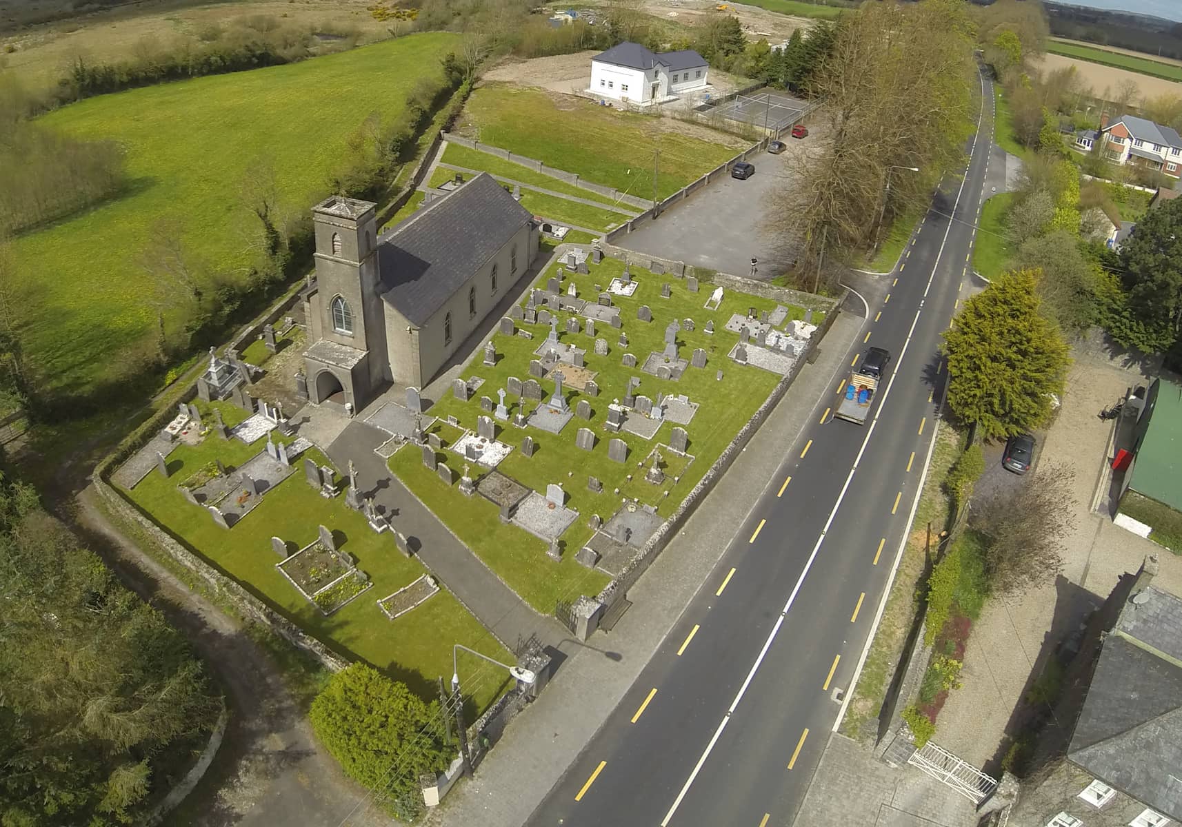 Church in DunmoreChurch · 1696 yd
 Pedunculate OakPedunculate Oak · 1.7 mi
 Birchfield PlantationForest · 2.1 mi
 1798 MonumentMemorial · 2.2 mi
 Heywood GardensHeritage attraction · 2.8 mi
 Knocknamoe HouseMemorial · 3.2 mi
 Abbeyleix Heritage CentreMuseum · 3.5 mi