What is recorded here
Death and eternity are twins in Walshtown Beg, where a semi-circular ringfort once stood on a SW-facing slope before levelling erased its trace. The 1842 map still marks the ghost of a twenty-five-metre circle abutted by a roadway, preserving the shape of what human hands built and time dissolved. Fairy fort is the local name for that forgotten architecture, a reminder that mortality and transformation are not opposites but partners in the life of a place.
In pasture, on SW-facing slope. Shown on 1842 OS 6-inch map as semi-circular area (diam. c. 25m) abutted to E by NW-SE roadway. Levelled; no visible surface trace.
The above description is derived from the published 'Archaeological Inventory of County Cork. Volume 2: East and South Cork' (Dublin: Stationery Office, 1994). In certain instances the entries have been revised and updated in the light of recent research.
Date of upload/revision: 14 January 2009
The monument record does not grant public access. Check the route and ask the landowner before entering private land.
- What survives
- Recorded monument
Places near here
 IndicatedHouse, vernacular house · 636 yd
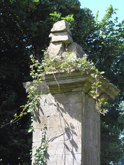 gates/railings/wallsgates/railings/walls · 1260 yd
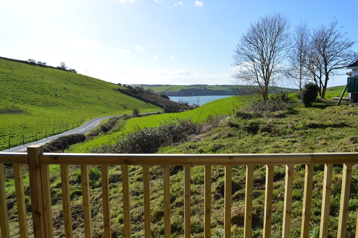 Enclosure in Walshtown BegEnclosure · 1.2 mi
 Site of Burial GroundBurial ground · 1.4 mi
 Court (site of )Castle, unclassified · 1.5 mi
 Curragh WoodsWood · 3.1 mi
 Leamlara Castle (in Ruins)Castle, tower house · 3.3 mi
 Graveyard in Broomfield WestGraveyard · 3.6 mi
 Clonmult Ambush SiteBattlefield · 4.0 mi
 Monananig WoodsWood · 4.1 mi
 Midleton IRA MonumentMemorial · 4.8 mi
 Devonshire's HillMountain / peak · 4.8 mi