What is recorded here
Fairy fort in Walshestown, County Limerick: a circular earthen enclosure about twenty-five metres across, marked on the 1841 Ordnance Survey map but levelled before later inspection. It stood on a slight west-facing slope in pasture, the kind of place people once walked past without thinking, perhaps dropping a coin or leaving bread because the ground felt busy. What is gone now is not emptiness; it is a shape removed from human sight while the story continues underneath.
In pasture, on slight W-facing slope. Monument, depicted as embanked circular enclosure (diam. c. 25m) on 1841 OS 6-inch map, has been levelled. No trace of monument evident when inspected.
Compiled by: Denis Power
Date of upload: 26 August 2011
The monument record does not grant public access. Check the route and ask the landowner before entering private land.
- What survives
- Recorded monument
Places near here
 BarrowBarrow, ring-barrow · 862 yd
 Enclosure in Mahoonagh BegEnclosure · 1262 yd
 Ballynakill HouseRuins · 1514 yd
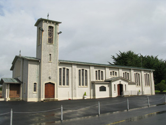 Catholic Church of Saint John the Baptistchurch/chapel · 1692 yd
 Castle MahonCastle · 1.1 mi
 Ballynoe Castle (in ruins)Castle, tower house · 1.8 mi
 LaghtpatrickSpring · 3.2 mi
 Sunday WellSpring · 3.3 mi
 European ashEuropean ash · 3.4 mi
 Limerick GreenwayWalking route · 6.2 mi
 Ballagh MountainMountain / peak · 6.4 mi
 Sugar HillMountain / peak · 7.2 mi