What is recorded here
Vicarstown’s lost fort is a thirty-eight-metre earthen ring, now partly swallowed by pasture and field fences on a south-west facing slope. It appeared on maps from 1842 to 1937, with a ditch and north-west entrance, before cultivation and everyday use smoothed much of its shape. The name fairy fort suggests people stopped treating it as an ordinary human home and began imagining it as a place where the unseen still lived.
In pasture, on SW-facing slope. Depicted as hachured circular enclosure (diam. c. 38m) on 1842, 1904 and 1937 OS 6-inch maps; external fosse (N->SE) and entrance to NW shown on 1937 OS 6-inch map. Levelled; worn earthen bank (H 1m) survives incorporated into field fence system NNE->SE. Hartnett (1939, 291) recorded double rampart surviving to E and SE, elsewhere banks 'smoothed out as a result of tillage within the fort'; entrance was to W.
The above description is derived from the published 'Archaeological Inventory of County Cork. Volume 3: Mid Cork' (Dublin: Stationery Office, 1997). In certain instances the entries have been revised and updated in the light of recent research.
Date of upload/revision: 14 January 2009
The monument record does not grant public access. Check the route and ask the landowner before entering private land.
- What survives
- Recorded monument
Places near here
 IndicatedFairy fort / earthen ringfort · 367 yd
 St Joseph's Roman Catholic Churchchurch/chapel · 1140 yd
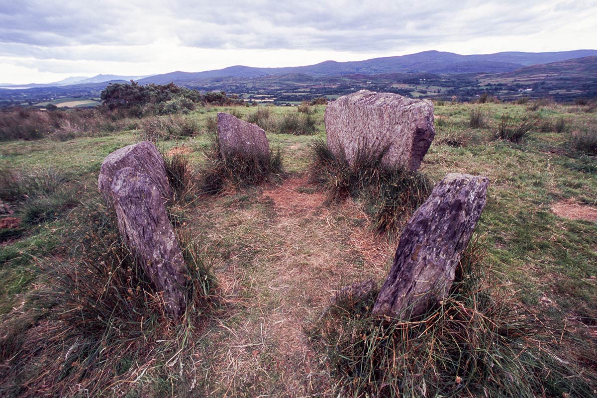 BarrowBarrow, ring-barrow · 1425 yd
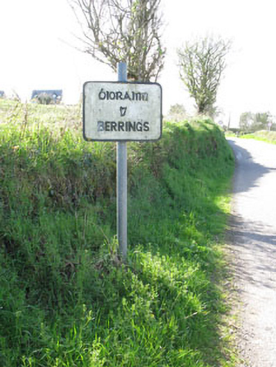 sign postsign post · 1.3 mi
 Ballyanly Inniscarra Slí na SláinteWalking route · 1.6 mi
 Ballyvodane Castle (in Ruins)Castle, unclassified · 2.1 mi
 Bob AdamsMemorial · 3.2 mi
 Castle Inch (in Ruins)Castle, tower house · 3.5 mi
 Iniscarra Dam ViewViewpoint · 3.9 mi
 Pakie HoganMemorial · 4.1 mi
 New TipperaryVisitor information · 4.2 mi
 Turner's Rock WoodWood · 4.4 mi