What is recorded here
Urney holds a massive double-ringed fort where water still fills the outer ditches. The southern causeway cuts through both banks, marking the entrance used by whatever lived inside. Maybe the chamber belonged to people, maybe to the fairies who took the form of women and children. The size and depth suggest human hands, but the water and silence suggest something else entirely.
Raised circular area (int. diam. c. 43m) enclosed by two substantial earthen banks, each accompanied by wide, deep, partly waterlogged outer fosses. Corresponding breaks in banks at S with accompanying causeway across inner fosse represents original entrance.
The above description is derived from the published 'Archaeological Inventory of County Cavan' (Dublin: Stationery Office, 1995). In certain instances the entries have been revised and updated in the light of recent research.
Date of upload/revision: 22 December 2008
The monument record does not grant public access. Check the route and ask the landowner before entering private land.
- What survives
- Recorded monument
Places near here
 Caldragh (Site of)Church · 919 yd
 Not inidcatedChurch · 1387 yd
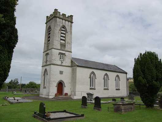 St Patrick’s Church of Ireland Churchchurch/chapel · 1437 yd
 BroomhillWood · 1.1 mi
 Shannow ForestForest · 1.4 mi
 Captain Thomas Sheridan IRAMonument · 1.7 mi
 BellvilleMountain / peak · 1.9 mi
 Ardkill MoreMountain / peak · 2.4 mi
 Castle CosbyCastle, unclassified · 2.6 mi
 Carricknagore RockNamed rock · 2.7 mi
 Lismore CastleCastle, unclassified · 2.9 mi
 Giant's GraveArchaeological place · 2.9 mi