What is recorded here
Fairy fort in Tuogh, County Limerick: a 46-metre earthen ring, scarped and level inside, still wearing pasture. The edge rises less than a metre, yet it marks a chosen circle on limestone ground. People may have lived there, excluded rain, or simply drew a line the land still remembers.
In gently undulating pasture, in area of limestone outcropping. Circular area (46m N-S; 44.5m E-W) defined by scarped edge (H 0.85m; Wth 6.1m). Scarp is best preserved SE->NW. A field boundary abuts scarp at E. Level interior is under pasture.
Compiled by: Denis Power
Date of upload: 26 August 2011
The monument record does not grant public access. Check the route and ask the landowner before entering private land.
- What survives
- Recorded monument
Places near here
 Knockannaholla Grave YardBurial ground · 418 yd
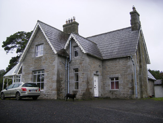 Cregaun Househouse · 510 yd
 Coolah Bridgebridge · 907 yd
 IndicatedFairy fort / earthen ringfort · 1240 yd
 KnocknagowerNamed rock · 1436 yd
 Garraunboy CastleCastle · 1.6 mi
 Clonshire CastleCastle · 1.7 mi
 Adare Tourist OfficeVisitor information · 1.7 mi
 Desmond CastleHeritage attraction · 2.0 mi
 Adare Desmond CastleMedieval castle · 2.0 mi
 European YewEuropean Yew · 2.0 mi
 European BeechEuropean Beech · 2.0 mi