What is recorded here
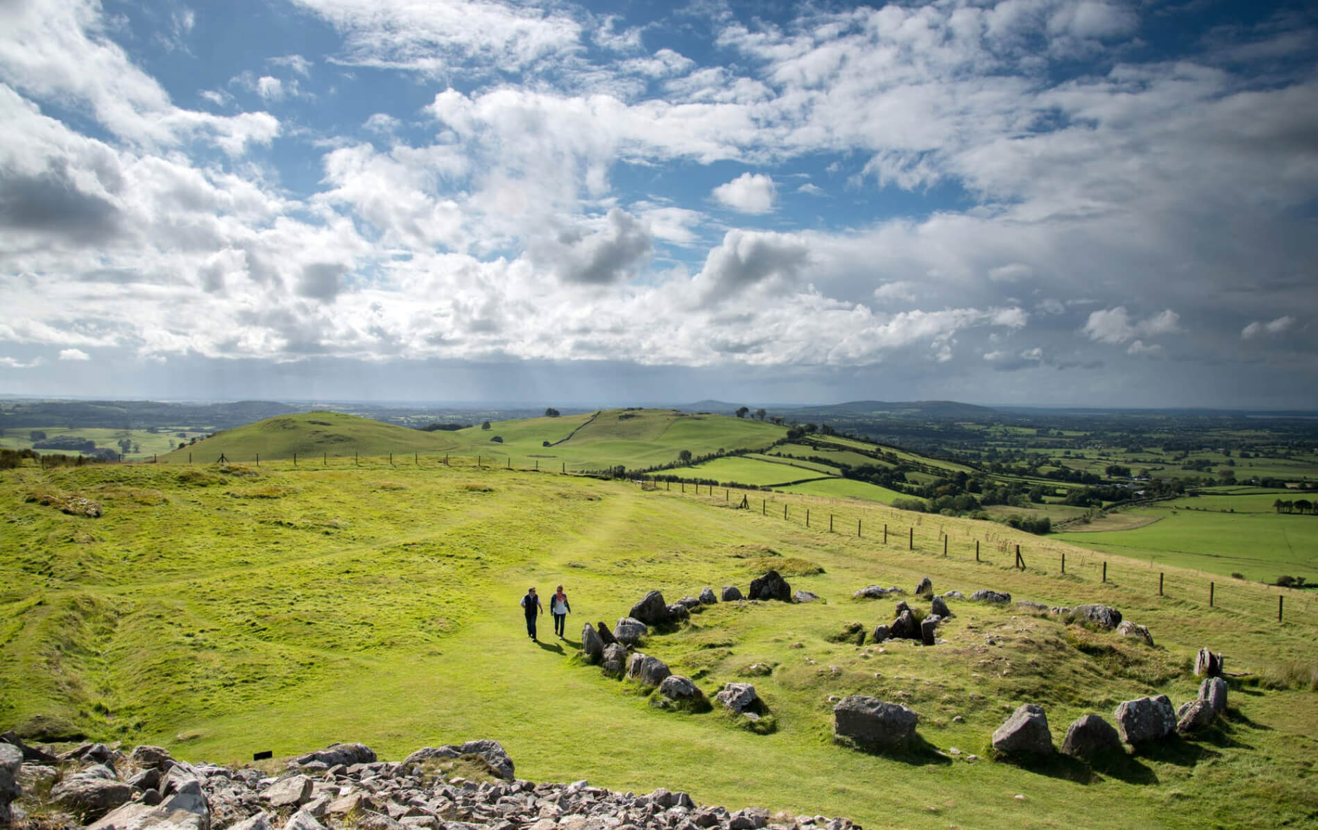
Fairy fort in Tullyneasky West: earthen ringfort in County Cork, Ireland. In pasture, on W-facing slope, it faced west into coming weather. Shown as circular enclosure on 1st ed. OS 6-inch map in 1842, it was already old enough to be remembered as a fairy fort. Levelled now, but undulations on the N side still hint at bank and fosse, as if the ground kept the shape of a door nobody lives behind.
In pasture, on W-facing slope. Shown as circular enclosure on 1st ed. OS 6-inch map (1842). Levelled; undulations on N side indicate remains of bank and fosse.
The above description is derived from the published 'Archaeological Inventory of County Cork. Volume 1: West Cork' (Dublin: Stationery Office, 1992). In certain instances the entries have been revised and updated in the light of recent research.
Date of upload/revision: 14 January 2009
The monument record does not grant public access. Check the route and ask the landowner before entering private land.
- What survives
- Recorded monument
Places near here
 School RuinRuins · 648 yd
 Michael Collins MemorialMemorial · 695 yd
 rectory/glebe/vicarage/curate's houserectory/glebe/vicarage/curate's house · 786 yd
 Burnt mound in KilruaneBurnt mound · 917 yd
 LisheenleighFairy fort / earthen ringfort · 969 yd
 Michael Collins BirthplaceHistoric birthplace · 1213 yd
 Castle Freke WoodsForest · 2.3 mi
 Sitka SpruceSitka Spruce · 2.4 mi
 Cottage MuseumMuseum · 2.4 mi
 Clasharusheen Mansion (Site of)Castle, unclassified · 2.8 mi
 Bawn in CastlefrekeBawn · 2.8 mi
 Lord Carbery's Cross TrailWalking route · 2.9 mi