What is recorded here
No visible feature remains in the low-lying pasture, but a house now stands partially on the site where a forty-metre circular embankment once rose. The 1834 map marked the forgotten fort in gothic lettering before domestic expansion buried the boundary. What looks like empty field may still hold the compacted soil of a lost shelter, waiting beneath grass and foundation for someone to remember it.
Situated in a fairly level, low-lying landscape. A circular embanked enclosure (ext. diam. c. 40m) is depicted only on the 1834 edition of the OS 6-inch map where it is described in gothic lettering as a ‘fort’. No archaeological feature is visible at ground level in pasture, and a house had been built partially on the location by 1995 (OSAP).
The above description is derived from the published 'Archaeological Inventory of County Monaghan' (Dublin: Stationery Office, 1986). In certain instances the entries have been revised and updated in the light of recent research.
Revised by: Michael Moore
Date of revision: 9 May 2018
The monument record does not grant public access. Check the route and ask the landowner before entering private land.
- What survives
- Recorded monument
Places near here
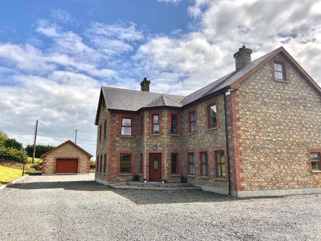 Cist in LattonfaskyCist · 1194 yd
 Enclosure in Cabragh (cremorne By)Enclosure · 1405 yd
 IllanshivansIslet · 1.2 mi
 Lough Egish IslandIslet · 1.3 mi
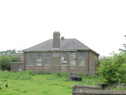 Scoil Náisiúnta Ultán Naomhthaschool · 1.5 mi
 Catholic Church of the Sacred Heartchurch/chapel · 1.9 mi
 Tally WoodWood · 2.9 mi
 Fincarn HillMountain / peak · 3.0 mi
 Monaghan WayWalking route · 3.1 mi
 The CrescentMemorial · 3.5 mi
 Fort HillWood · 3.7 mi
 Bawn in OnomyBawn · 3.9 mi