What is recorded here
Fairy forts are human inventions, often older than local memory, yet the name still does real work: it keeps people distant and the place strange. Under that teasing label sits a substantial earthwork, a circular platform about thirty metres across, shaped by a steep inner scarp, a wide fosse and a thinner outer bank that now survives mainly from the northwest through the east to the southeast. The missing southern edge has been reduced to a low berm, while a modern entrance ramp cuts through the southeast. That incomplete circle is not a failure of imagination; it is a record of time, erosion and use. The fairies may be fictional, but the earth is not.
Situated on a knoll towards the bottom of a W-facing slope with a SE-NW stream c. 20-35m to the SW. This is a grass and scrub-covered circular platform (diam. 31m E-W; 30m N-S) defined by an overgrown scarp (H 1.1-1.3m W-N to 2.4m elsewhere) which is separated by an overgrown fosse (at N: Wth of top 6m; Wth of base 3m; ext. D 0.6m) from an outer bank (at N: Wth of base 3m; ext. H 0.5m), both of which only survive only NW-NE-SE although the fosse is reduced to a berm (at S; Wth 1m) elsewhere. There is an entrance ramp, probably modern, at SE.
The above description is derived from 'The Archaeological Inventory of County Leitrim' compiled by Michael J. Moore (Dublin: Stationery Office, 2003). In certain instances the entries have been revised and updated in the light of recent research.
Date of upload: 23 September 2008
The monument record does not grant public access. Check the route and ask the landowner before entering private land.
- What survives
- Recorded monument
Places near here
 Sweat Ho.Sweathouse · 397 yd
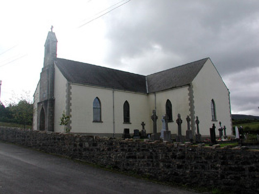 Saint Hugh's Catholic Churchchurch/chapel · 1231 yd
 IndicatedFairy fort / stone ringfort · 1.2 mi
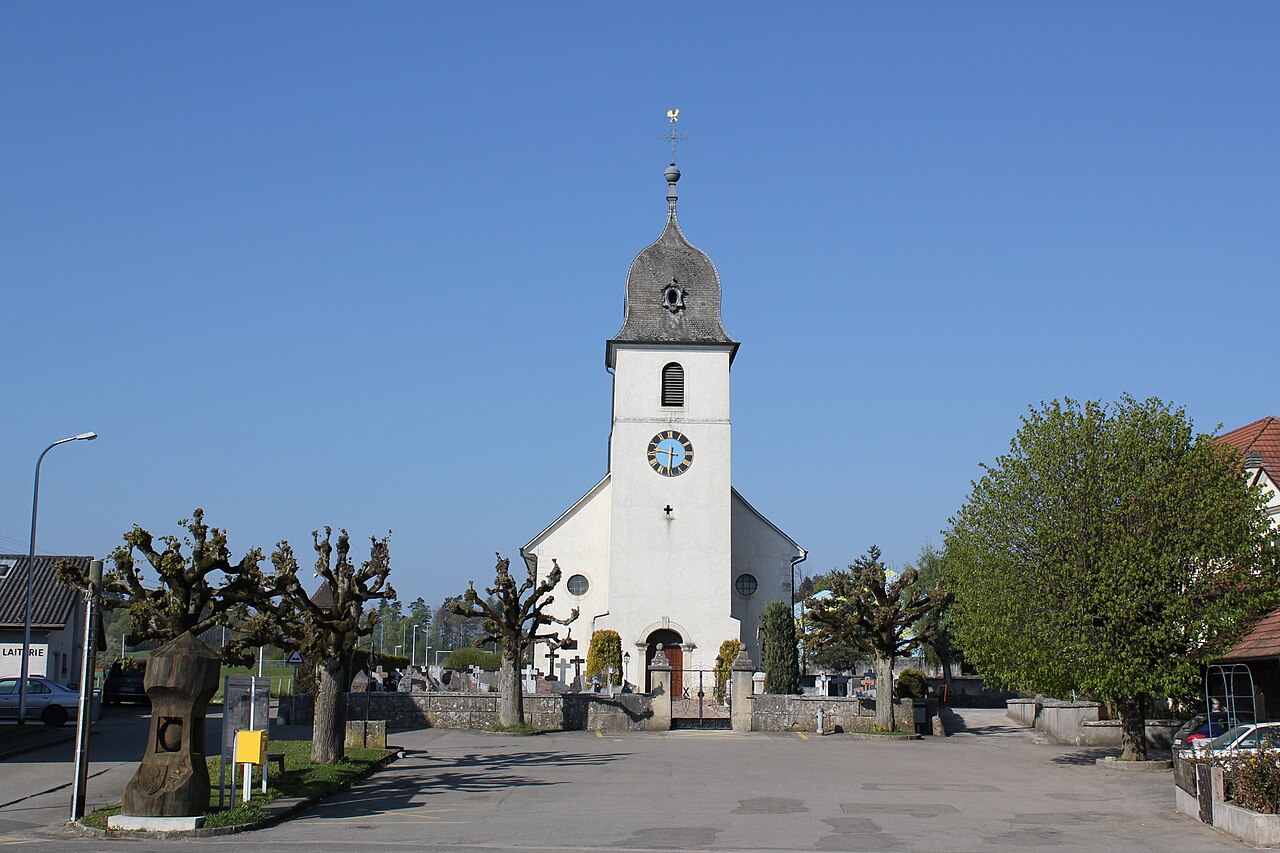 Church in FahyChurch · 1.3 mi
 Fahy RockIslet · 1.6 mi
 CarrignahastaCliff · 2.7 mi
 PlaygroudCliff · 2.7 mi
 Gull IslandIslet · 2.8 mi
 Forde's CastleCastle · 2.8 mi
 Republican Garden of RemembranceMemorial · 2.9 mi
 BencroyMountain / peak · 3.2 mi
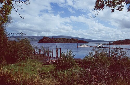 Lough AllenLarge freshwater lake · 3.4 mi