What is recorded here
Fairy fort in Tullynacross, County Leitrim, is a grass-covered subcircular platform 26.3m NW-SE and 20m NE-SW on a slight knoll towards the bottom of a S-facing slope, defined by an overgrown scarp rising 0.2m at NE to 1.5m at SW and slight traces of a revetted earthen bank 1.4m wide with hedge at NE. It has no visible fosse and its original entrance is not identified. People may have lived there, marked a boundary, or left a place for story; the earth still keeps its shape while the purpose waits to be remembered.
Situated on a slight knoll towards the bottom of a S-facing slope. This is a grass-covered subcircular platform (dims 26.3m NW-SE; 20m NE-SW) defined by an overgrown scarp (H 0.2m at NE to 1.5m at SW), and slight traces of a revetted earthen bank (Wth 1.4m) with hedge at NE. There is no visible fosse and the original entrance is not identified.
The above description is derived from 'The Archaeological Inventory of County Leitrim' compiled by Michael J. Moore (Dublin: Stationery Office, 2003). In certain instances the entries have been revised and updated in the light of recent research.
Date of upload: 23 September 2008
The monument record does not grant public access. Check the route and ask the landowner before entering private land.
- What survives
- Recorded monument
Places near here
 Sweat Ho. (in Ruins)Sweathouse · 1485 yd
 Sweat Ho.Sweathouse · 1.1 mi
 Penal Mass station in AltavraPenal Mass station · 1.2 mi
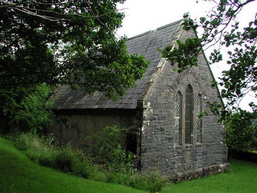 Creevelea Presbyterian Churchchurch/chapel · 1.5 mi
 The Giants GraveArchaeological place · 4.3 mi
 Ballaghnabehy TopMountain / peak · 4.5 mi
 Drummans IslandIslet · 4.8 mi
 Green IslandIslet · 4.8 mi
 ArdlougherMountain / peak · 4.8 mi
 Giants RockNamed rock · 5.4 mi
 Forde's CastleCastle · 5.6 mi
 Old HallCastle, hall-house · 5.8 mi