What is recorded here
Fairy forts are human places misnamed, often built as dwellings or boundaries before folklore smoothed their edges. In Tullycarn a shallow circular scar remains on a low ridge above the Ominey valley, with a thin earthen bank surviving on one side while pasture and fencing have softened the rest. People may have lived there, tended animals or marked a boundary long before the name changed. The fairies arrived later, taking the shape people stopped remembering.
Internal diam. c. 34m. A subcircular area, in part only discernible from the levelling of the hillcrest. On the W side an earthen bank .4m high survives. A field fence runs through the site N-S and there are other modern disturbances. It is situated on a low ridge overlooking the valley of the Ominey river in fairly good pasture land.
The above description was derived from the 'Archaeological Survey of County Donegal. A description of the field antiquities of the County from the Mesolithic Period to the 17th century.' Compiled by: Brian Lacey with Eamon Cody, Claire Cotter, Judy Cuppage, Noel Dunne, Vincent Hurley, Celie O'Rahilly, Paul Walsh and Seán Ó Nualláin (Lifford: Donegal County Council, 1983). In certain instances the entries have been revised and updated.
Date of upload: 22 September 2008
The monument record does not grant public access. Check the route and ask the landowner before entering private land.
- What survives
- Recorded monument
Places near here
 Lurganboy Bridgebridge · 1067 yd
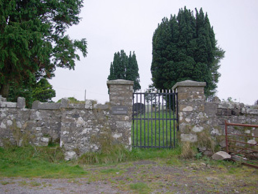 Templecarne Graveyardgraveyard/cemetery · 1497 yd
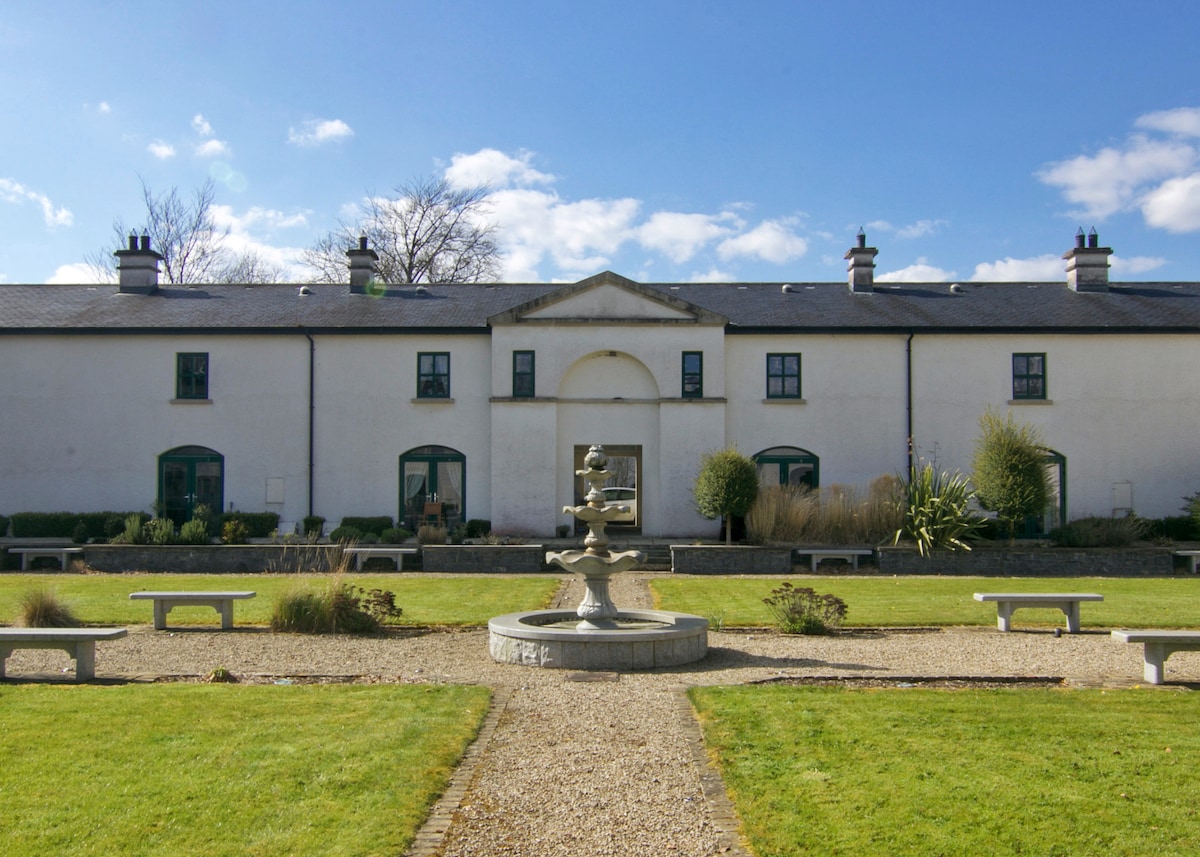 ENCLOSURE in DrumlongfieldENCLOSURE · 1506 yd
 Cross in Carn (pettigoe Ed)Cross · 1516 yd
 Drumharriff WoodForest recreation place · 1.4 mi
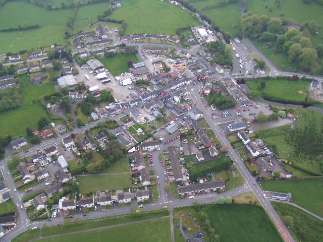 Kesh ForestForest · 2.4 mi
 Castle McGrathCastle · 2.4 mi
 Smiths RocksIsland · 2.8 mi
 Teige's RockIsland · 2.8 mi
 Patrick the PilgrimMemorial · 3.2 mi
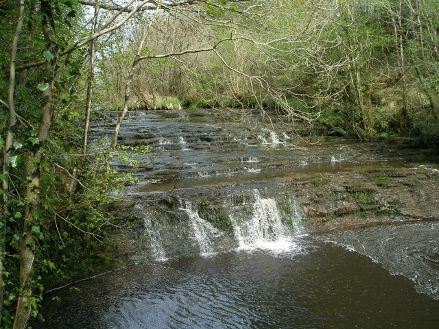 Drummoney WaterfallWaterfall · 3.4 mi
 Boa IslandIsland · 3.4 mi