What is recorded here
Fairy fort / earthen ringfort in Tully (ballintober North By., Kilmore Ed) is a fairy fort or earthen ringfort in Tully (ballintober North By., Kilmore Ed), County Roscommon, Ireland. It appears on the 1914 Ordnance Survey map as a D-shaped enclosure measuring roughly 30 metres north-south and 25 metres east-west. A north-south road bank cuts through its eastern edge, leaving a circular area defined by an earth and stone bank with an outer fosse. Archaeological testing nearby failed to produce related material, and the site is now a lawn with a bungalow just outside it to the northwest.
Marked only on the 1914 ed. of the OS 6-inch map as a D-shaped hachured enclosure (dims c. 30m N-S; c. 25m E-W) which is truncated by a N-S road bank at E. Situated on a gentle S-facing slope of a low NW-SE rise. Described as a circular area defined by an earth and stone bank with an outer fosse which was truncated by a road bank at E (Gannon 1972). Archaeological testing (96E0190) in the vicinity failed to produce any related material (Ryan 1997b), and the monument is now a lawn with a bungalow just outside it to the NW.
Compiled by: Michael Moore
Date of upload: 24 August 2010
The monument record does not grant public access. Check the route and ask the landowner before entering private land.
- What survives
- Recorded monument
Places near here
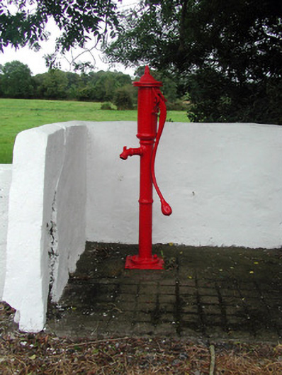 Historic buildingOfficially recorded historic building · 356 yd
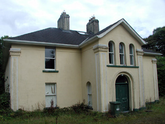 Tully Lodgehouse · 380 yd
 Tobermacleggan WellHoly well · 523 yd
 Site of Dangan CastleCastle, unclassified · 1607 yd
 IndicatedFairy fort / earthen ringfort · 1.2 mi
 InishmoylinIslet · 1.5 mi
 Coarse IslandForest · 1.7 mi
 Dockery's IslandIslet · 1.8 mi
 Wildlife AreaNature reserve · 2.5 mi
 Tom Dunphy MemorialMemorial · 2.5 mi
 Patrick Gill Memorial Plaque (IRA)Monument · 2.7 mi
 Cavan & Leitrim RailwayMuseum · 4.3 mi