What is recorded here
Fairy forts are not fairy forts. They are human ringforts, no bigger than a room spanned twice, and the fairy label is a later cover story for shapes people stopped understanding. In Tulligoline North the ring has been levelled into a south-facing grazing slope, while conifers have taken the ground beside it. What remains is a map memory and a changed landscape, not a hole in the earth.
In rough grazing, on S-facing slope. Monument, depicted as circular enclosure (diam. c. 20m) on 1841 OS 6-inch map, has been levelled. No trace of monument evident when inspected. Area immediately to E planted with coniferous trees.
Compiled by: Denis Power
Date of upload: 26 August 2011
The monument record does not grant public access. Check the route and ask the landowner before entering private land.
- What survives
- Recorded monument
Places near here
 TobereenalaffinaSpring · 1.7 mi
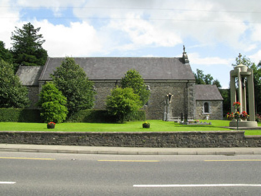 Catholic Church of the Holy Trinitychurch/chapel · 1.8 mi
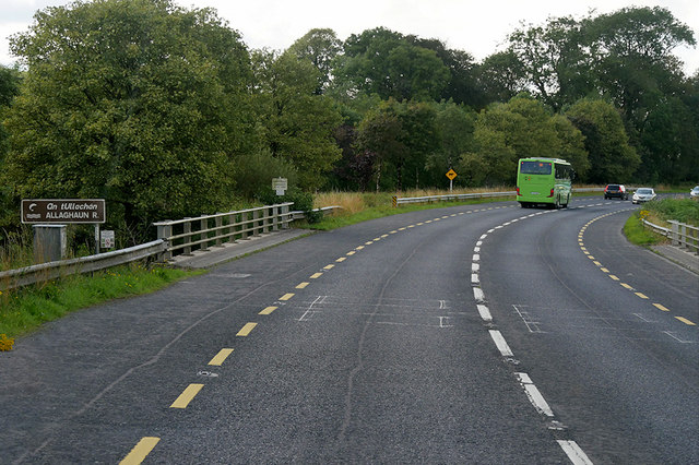 Goulburn Bridgebridge · 2.1 mi
 Barnagh HillMountain / peak · 2.3 mi
 Sugar HillMountain / peak · 2.5 mi
 Causeway in Cool WestCauseway · 2.7 mi
 Enclosure in Garryduff (glenquin By., Garryduff Ed)Enclosure · 3.2 mi
 Limerick GreenwayWalking route · 4.2 mi
 Purt CastleCastle · 4.7 mi
 Glenquin CastleCastle · 4.8 mi
 Lawson's CypressLawson's Cypress · 4.9 mi
 Saint Ite's WellSpring · 6.2 mi