What is recorded here
In Tulligoline North, a broad earthen bank circles level grass, broken only where a farm track cut through its southern edge. The ring measures twenty-five metres across, large enough for a household but small enough to hide inside ordinary pasture. Local people called it a fairy fort, perhaps because the shape resisted explanation or because the field belonged to nobody visible at once. A family may have lived there before the track was made, raising children and arguing about weather inside the same circle now given to rabbits and rain.
In level pasture. Circular area (23.6m N-S; 25.6m E-W) enclosed by broad earthen bank (int. H 0.45m; ext. H 0.75m; Wth 5.6m), except SE->SW where truncated by farm trackway. Interior is level and under grass.
Compiled by: Denis Power
Date of upload: 26 August 2011
The monument record does not grant public access. Check the route and ask the landowner before entering private land.
- What survives
- Recorded monument
Places near here
 TobereenalaffinaSpring · 1.4 mi
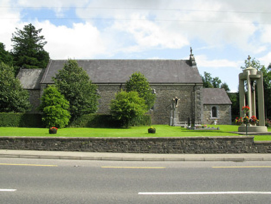 Catholic Church of the Holy Trinitychurch/chapel · 1.5 mi
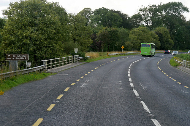 Goulburn Bridgebridge · 1.8 mi
 Barnagh HillMountain / peak · 1.9 mi
 Sugar HillMountain / peak · 2.7 mi
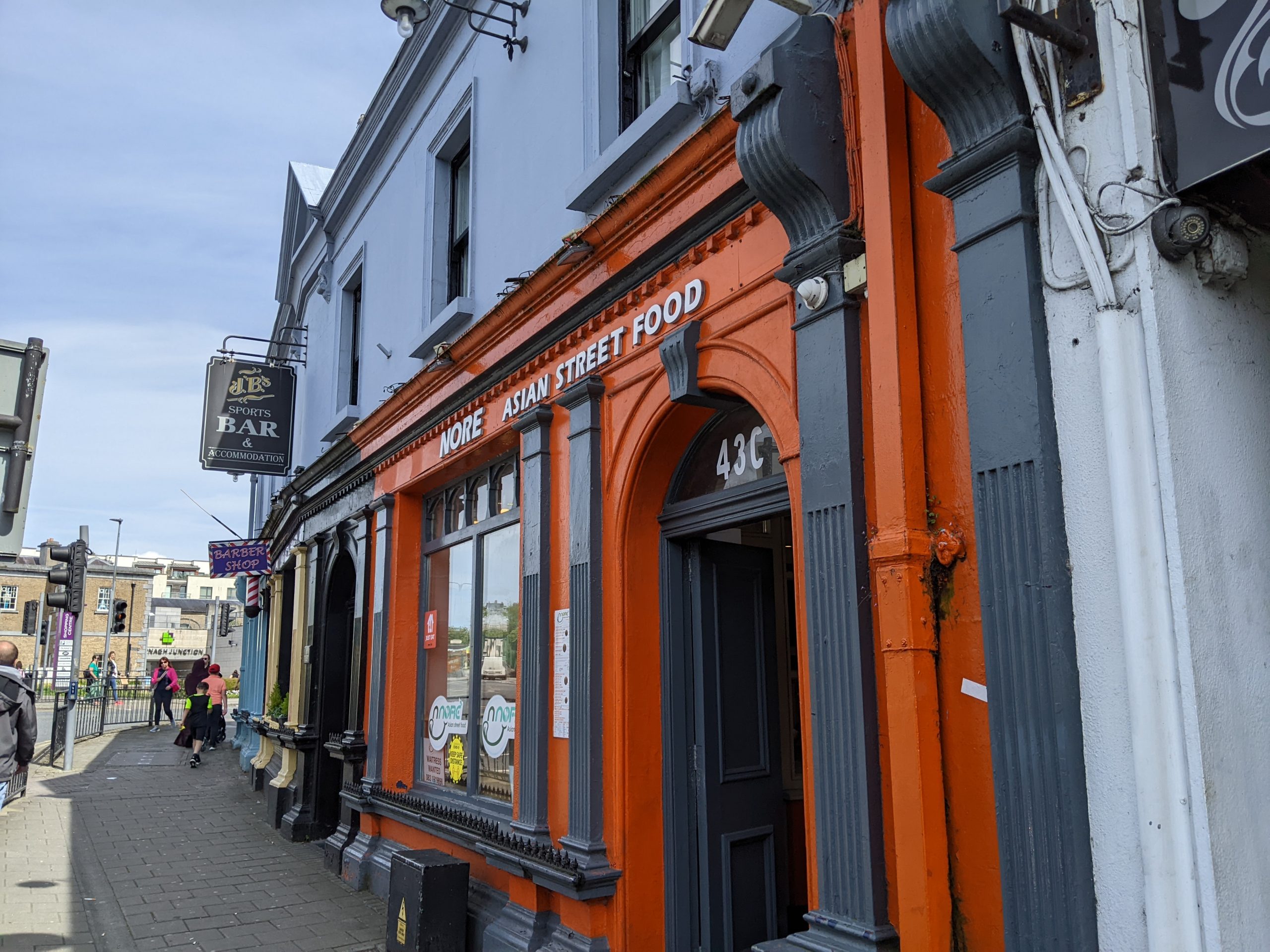 Causeway in Cool WestCauseway · 3.1 mi
 BarrowBarrow, ring-barrow · 3.1 mi
 Limerick GreenwayWalking route · 4.4 mi
 Glenquin CastleCastle · 4.5 mi
 Purt CastleCastle · 4.8 mi
 Lawson's CypressLawson's Cypress · 5.3 mi
 Saint Ite's WellSpring · 5.9 mi