What is recorded here
Fairy fort in Tullig, County Cork: a circular earthen ring about twenty-five metres across, raised on a south-facing slope, with a bank still standing where people once cleared stones from the field. It is the kind of place that looks half-made by hands and half-made by time, as if the land folded up around a house, a boundary, or a forgotten chamber. The fence cuts across it now, but the shape remains, holding its own quiet claim on the earth.
In pasture, on break in S-facing slope. Circular, raised area (25.6m N-S; 23.5m E-W) defined by scarp SSE->WSW; earthen bank (H 1.4m) WSW->N, topped by field clearance stones; field boundary to E. Field fence running WSW->ENE crosses N half of interior. Possible Man-made underground passage (CO134-091---)in centre.
The above description is derived from the published 'Archaeological Inventory of County Cork. Volume 1: West Cork' (Dublin: Stationery Office, 1992). In certain instances the entries have been revised and updated in the light of recent research.
Date of upload/revision: 14 January 2009
The monument record does not grant public access. Check the route and ask the landowner before entering private land.
- What survives
- Recorded monument
Places near here
 Man-made underground passage in Tullig (carbery East (w.d) By.)Man-made underground passage · 1 yd
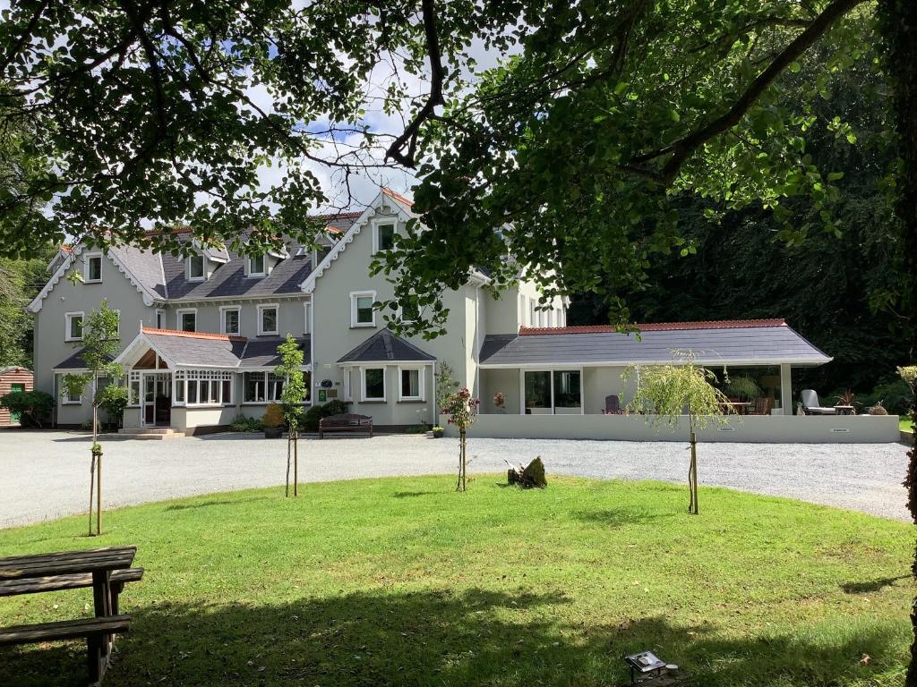 Fulacht fia in Tullig (carbery East (w.d) By.)Fulacht fia · 750 yd
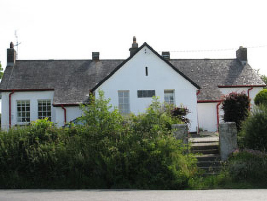 schoolschool · 1387 yd
 William Thompson MemorialMemorial · 1393 yd
 CarrigfaddaMountain / peak · 1.1 mi
 Cross commemorating Holy Day.Memorial · 1.2 mi
 MillMill, woollen · 1.5 mi
 Castle SalemCastle · 2.2 mi
 Leap waterfallHeritage attraction · 3.5 mi
 Walk 1 - Drombeg Standing Stone Circle (7 - 9 km)Walking route · 3.7 mi
 Drombeg Stone CircleArchaeological place · 3.8 mi
 Drombeg Fulacht Fia and RuinsVisitor information · 3.8 mi