What is recorded here
Situated on a slight S and E-facing slope. The faint vegetation mark of a circular enclosure (diam. c. 30m N-S) defined by what might be a faint fosse feature S-W-N is visible on aerial photograph (CUCAP, BDQ 86). It is not visible at ground level in pasture.
Compiled by: Michael Moore
Date of upload/revision: 1 May 2014
The monument record does not grant public access. Check the route and ask the landowner before entering private land.
- What survives
- Recorded monument
Places near here
 Church (in ruins)Church · 883 yd
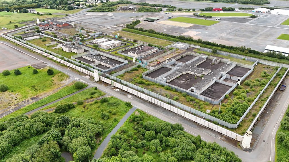 Concentric enclosure in BallygowneyConcentric enclosure · 1.1 mi
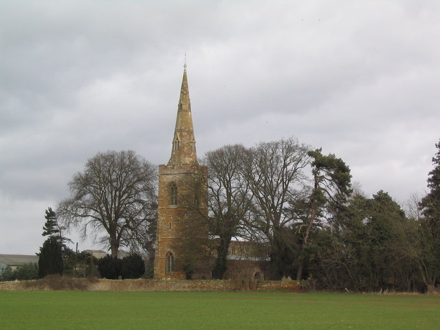 Site of ChurchChurch · 1.1 mi
 Rathumney Castle (in ruins)Castle, hall-house · 1.1 mi
 bridgebridge · 1.1 mi
 Castle (in ruins)Castle, unclassified · 1.4 mi
 Tinnock RockNamed rock · 1.7 mi
 Campile WWII Bombing MemorialMemorial · 2.6 mi
 Dunbrody Abbey Visitor CentreHeritage attraction · 3.2 mi
 Dunbrody Abbey Hedge MazeHeritage attraction · 3.2 mi
 Common WhitebeamCommon Whitebeam · 3.5 mi
 Arthurstown BeachBeach / strand · 4.1 mi