
What is recorded here
Located on a slight, broad col. This is the probable parish church of Killesk within a D-shaped graveyard (int. dims 58m NW-SE; 35m NE-SW) defined by an overgrown earthen bank (Wth c. 2.5m; int. H 1.5m), with an external stone cladding on the bank W-N. The perimeter is augmented with old spoil at the straight SE side and the adjacent parts of the SW and E (Wth 6m) sides. There is a relict roadway outside the graveyard perimeter N-SE. There are a few headstones in the neglected graveyard dating from 1715 to 1985 but only the N part of the enclosed area is used for burial, the S half being overgrown. The church is marked on the 1839 and 1940 eds of the OS 6-inch map where it is described as a church in ruins in gothic lettering on both. The basal courses (at E: Wth 1.1m; int. H 1-1.4m) of a rectangular building oriented E-W (int. dims. 8.3m E-W; 4.2m N-S) survive with no visible features, but there is a wide spread of cairn material.
The above description is derived from the published 'Archaeological Inventory of County Wexford' (Dublin: Stationery Office, 1996). In certain instances the entries have been revised and updated in the light of recent research.
Compiled by: Michael Moore
Date of upload/revision: 24 January, 2913
The monument record does not grant public access. Check the route and ask the landowner before entering private land.
- What survives
- Recorded monument
Places near here
 bridgebridge · 1255 yd
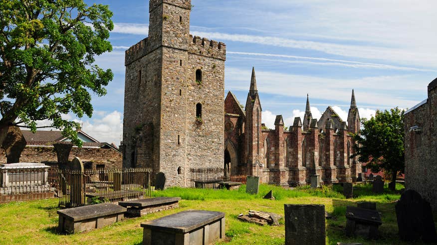 Church (Site of)Ruins · 1515 yd
 Castle (in ruins)Castle, unclassified · 1552 yd
 Rathumney Castle (in ruins)Castle, hall-house · 1.1 mi
 St. Margarets WellHoly well · 1.1 mi
 Tinnock RockNamed rock · 1.2 mi
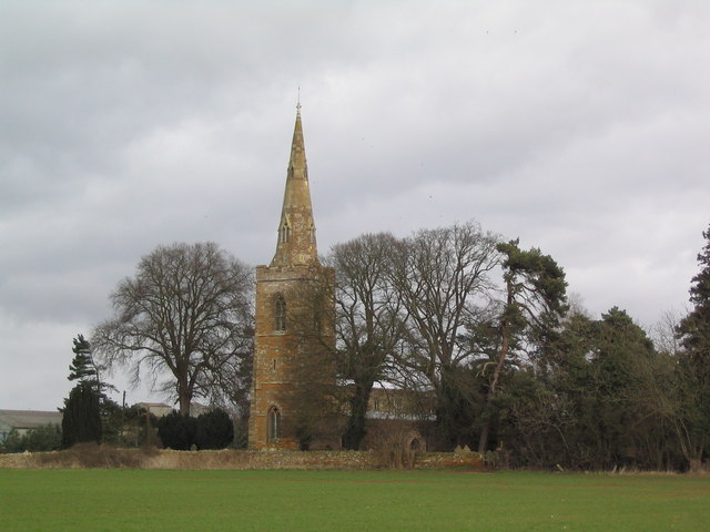 Site of ChurchChurch · 1.2 mi
 Campile WWII Bombing MemorialMemorial · 2.1 mi
 Arboretum MapVisitor information · 2.7 mi
 Dunbrody Abbey Visitor CentreHeritage attraction · 2.7 mi
 Dunbrody Abbey Hedge MazeHeritage attraction · 2.7 mi
 Common WhitebeamCommon Whitebeam · 3.3 mi
Other information
Photo: Credit not shown in the picture search · Rights wording not checked; contact us if this picture should be removed