What is recorded here
No fairy ever flew there, though the name still circles like a claim. Earth and ditch made a small world in Limerick pasture, large enough to hold a family, a herd, or a fear of neighbours. People forgot the owner, but grass and shadow kept the shape alive.
In pasture, 96m W of townland boundary with Drombeg. Depicted on the 1897 ed. OSi 25-inch map as a sub-circular shaped area (dims. c. 39m N-S; 36m E-W) defined by a scarp with external fosse, intersected at SW by a post-1700 field boundary running NW-SE. Monument visible as circular shaped area enclosed by tree-covered bank, overgrown fosse from N-E-S-SW and cropmark of levelled fosse on OSi orthophotograph taken between 2005-12. Clearly visible on Google Earth orthoimage dated 14/09/2019. Cropmark of fosse from SW-W-NW also visible running NW-SE on Google Earth orthoimages.
See attached Google Earth orthoimages.
Compiled by: Fiona Rooney
Date of upload: 12 April 2021
The monument record does not grant public access. Check the route and ask the landowner before entering private land.
- What survives
- Recorded monument
Places near here
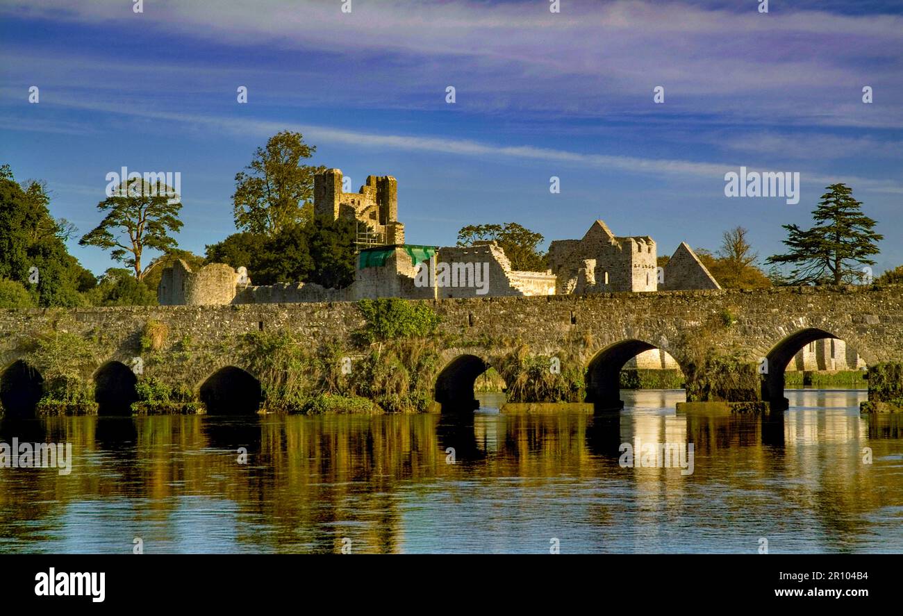 BarrowBarrow, unclassified · 919 yd
 Burial in RathcannonBurial · 927 yd
 Castle IeversCastle, unclassified · 1125 yd
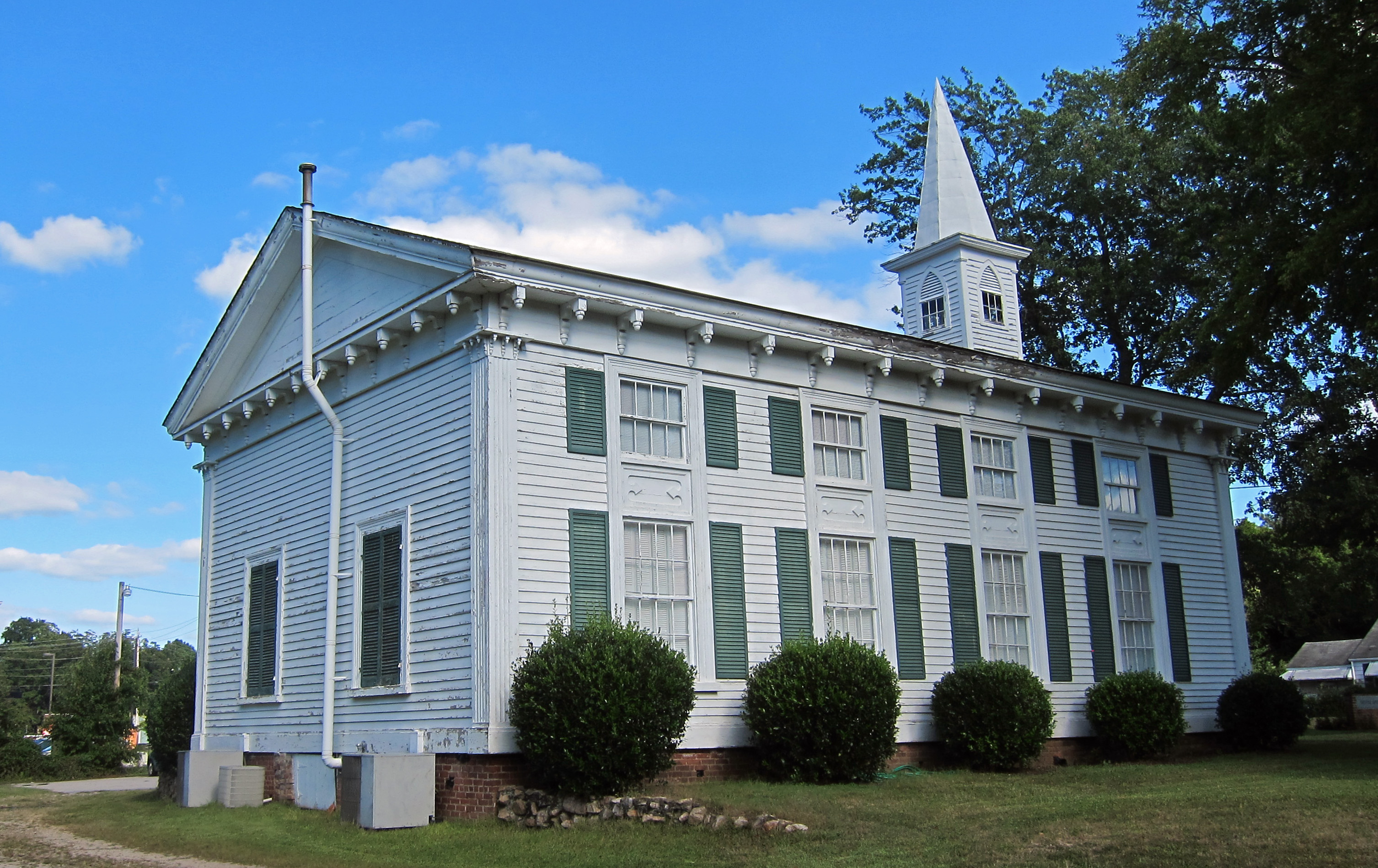 Church (in ruins)Church · 1285 yd
 RoadRoad, hollow-way · 1539 yd
 Athlacca Ho. (in ruins)Castle, unclassified · 1.1 mi
 Monasteranenagh AbbeyHeritage attraction · 3.3 mi
 European ashEuropean ash · 4.0 mi
 Biodiversity in the Maigue CatchmentVisitor information · 4.7 mi
 Lough GurVisitor information · 5.1 mi
 Saint Derivla's WellSpring · 7.7 mi
 Flat cemetery in Knockainy WestFlat cemetery · 7.8 mi