What is recorded here
Thirty metres across and six metres high, the earth rises beside the medieval church in Tullaroan. Called a fairy fort in local story, it may have been a ringwork where people lived before the church claimed the valley. Cattle still walk the field named Moat Field on old maps, unaware they graze above a forgotten room of human history.
On a SE-facing slope in a valley, in pasture. The medieval church of Tullaroan (KK018-032001-) is located c. 100m to the E. The field where this monument is located is named as ‘Moat Field’ on the 1st (1839) ed. 6-inch OS map and the monument was known locally as ‘the moat’ (Carrigan 1905, vol. 3, 495). A flat-topped raised circular ringfort (diam. at top 28m; H 4-6m), being higher in the SW sector as dictated by the natural slope. There is a raised entrance in the E quadrant (Wth 3m). A depression (dims. 11m N-S; 9m E-W; D 2m) at the W side is possibly a result of landscaping, as immediately in front of the depression, at the edge of the slope of the ringfort, there is a tree-planted windbreak. There are some mature trees growing in the interior. The raised nature of this monument and its close proximity to the medieval church suggests that this may be a ringwork rather than a ringfort.
Compiled by: Jean Farrelly
Date of upload: 1 March 2017
A fairy fort or earthen ringfort in Tullaroan is a circular earthen enclosure typical of early-medieval Ireland, likely dating to between the 5th and 10th centuries. Its proximity to the medieval church and the name "Moat Field" suggest possible historical or ritual significance, while local tradition may associate it with fairy lore or ancient habitation.
The monument record does not grant public access. Check the route and ask the landowner before entering private land.
- What survives
- Recorded monument
Places near here
 Tullaroan MotteArchaeological place · 4 yd
 Tullaroan ChurchChurch · 159 yd
 Ladys WellHoly well · 185 yd
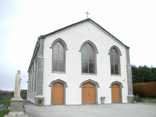 Catholic Church of the Assumptionchurch/chapel · 599 yd
 Site of CastleCastle, unclassified · 1708 yd
 CastleCastle, unclassified · 1.0 mi
 Killeen Fox CovertForest · 2.1 mi
 Kildrinagh WoodForest · 3.3 mi
 Ballykeeffe Mass RockNamed rock · 3.4 mi
 Ballykeefe QuarryCliff · 3.7 mi
 Ballykeefe AmphitheatreHeritage attraction · 3.7 mi
 Warhouse HillMountain / peak · 4.5 mi