What is recorded here
No. of Entry: 176 Name: Ringfort Type: Ringfort Area: Tullawin North Townland: Tullawin North Barony: Iveragh County: Kerry Grading: Intermediate Date Recorded: 27/07/2013 Record Type: Scheduled Monument Status: Extant Ownership: Private Setting: Agricultural Access: No public access Condition: Good Integrity: High Research Potential: Medium Threats: Agriculture, development pressure Management: None recorded Last Reviewed: 27/07/2013
Internal diameter 31m N-S, 34m E-W
Situated in low-lying pastureland directly behind a small wooded area, this univallate rath consists of a circular area enclosed by an earthen bank. A fieldbank runs along the S side of this site. The enclosing bank is low and wide and externally it measures between .5m-1.6m, and internally is on average .8m high. A 3m wide gap exists to the SE.
The above description is derived from C. Toal, ‘North Kerry Archaeological Survey’. Dingle. Brandon in association with FAS Training and Employment Authority (1995), no. 176. In certain instances the entries have been revised and updated in the light of recent research.
Date of upload: 2 August 2013
The monument record does not grant public access. Check the route and ask the landowner before entering private land.
- What survives
- Recorded monument
Places near here
 Enclosure in Astee WestEnclosure · 1.0 mi
 LismoyleArchaeological place · 1.2 mi
 CastleCastle, ringwork · 2.7 mi
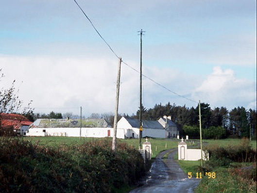 Kilelton Farm Yardfarmyard complex · 2.7 mi
 Siege of Carrigafoyle Castlesiege · 2.7 mi
 Church (in ruins)Church · 2.7 mi
 Carrigafoyle Cas. (in ruins)Castle, tower house · 2.8 mi
 Carrig IslandIsland · 2.9 mi
 KnockanoreMountain / peak · 2.9 mi
 Beal PointHeadland · 4.0 mi
 Cliffs of DooneenCliff · 4.7 mi
 Scattery IslandIsland · 4.8 mi